
 Français
 简体中文
 Deutsch
 English
 Español
 Nederlands
 Svenska
 Italiano
 日本語
 Polski
 Português
 Русский
 Ελληνικά
 العربية
 Türkçe
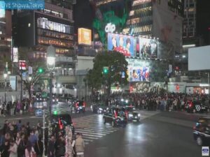
Live
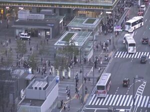
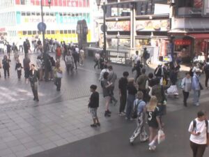
Carrefour de Shibuya, Tokyo, Japon
Carrefour de Shibuya, 21 Udagawa-cho, Shibuya-ku, Tokyo, Japon
 14.5°C / 58.1°F
 19:2719:27:39
 6°C / 42.8°FNuageux
 81%
 15 km/h / 9 mph
 06:07
 16:25
Chargement des prévisions…
Carrefour de Shibuya, 21 Udagawa-cho, Shibuya-ku, Tokyo, Japon
14.5°C / 58.1°F
19:27
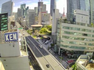
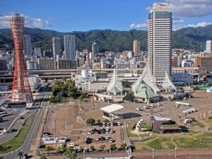
Gare de Hakata, 中央街-1 博多駅 arrondissement de Hakata, Fukuoka, Japon
 17.9°C / 64.2°F
19:27
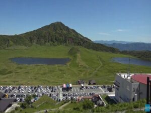
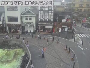
Observatoire Kusasenri, 1662-9 Nagakusa, Aso, Kumamoto, Japon
 11°C / 51.8°F
19:27


Les avions au sol et en vol dans un rayon d'environ 22 km (14 miles) autour de l'aéroport, mis à jour toutes les 10 secondes. Touchez un avion ou un vol de la liste pour afficher ses détails. Les altitudes sont indiquées par rapport au niveau de la mer. Les positions proviennent de récepteurs ADS-B bénévoles : certains aéroports affichent donc peu ou pas d'avions au sol.
The New Chitose Airport Webcam looks across the airfield that serves Sapporo, from beside a perimeter fence on the island of Hokkaido in northern Japan. A long runway crosses the middle of the frame, with the control tower and the terminal buildings lined up along the horizon. Hokkaido Television Broadcasting (HTB) runs the stream around the clock in its Hokkaido on Weather Camera series, and it pitches the feed with a plain question: can planes fly to the airport right now? Jets roll through in AIR DO and other airline colors, while the wide sky above them makes incoming snow and low cloud easy to read. HTB notes that maintenance or an emergency can sometimes interrupt the picture.
New Chitose Airport opened on July 20, 1988, replacing the adjacent Chitose Airport, a joint-use field that had handled passenger flights since 1963. It carries the codes CTS and RJCC, sits 21 meters (70 feet) above sea level, and lies 5 kilometers (3.1 miles) south-southeast of the city of Chitose. Traffic reached 23,968,186 passengers in 2024, along with 144,408 metric tonnes of cargo. Much of that comes from one link: the 819 kilometer (509 mile) Sapporo to Tokyo Haneda route, which carried 12.1 million passengers in 2025 and ranks as the second-busiest air route in the world.
Four runways sit side by side here, though only two belong to the civil airport. Runways 01L/19R and 01R/19L each measure 3,000 meters (9,843 feet). Next door, Chitose Air Base has runways 18R/36L at 2,700 meters (8,858 feet) and 18L/36R at 4,000 meters (13,123 feet), operated by the Japan Air Self-Defense Force. The two fields share air traffic control.
The camera stands close to the perimeter fence, so the foreground is working airport rather than scenery: a service road lined with white markers, a security gate marked 13, and a concrete drainage channel holding water at the right of the frame. Beyond the fence, grass runs out to the pavement. The tower stands left of the terminal complex, where blue-tailed jets often line up at the gates. The international terminal opened on March 26, 2010, and a new building completed by August 2019 roughly doubled its capacity.
Chitose has a humid continental climate with cold winters and warm summers. January is the hard month, with average highs of -1°C (30°F) and lows of -13°C (9°F), and annual snowfall totals 227 centimeters (89 inches). Snow can turn the brown grass in the frame white, leaving a cleared runway as the darkest line in the picture. Weather closures do happen, and the Chitose Air Base runways are occasionally used to relieve them.
Spring arrives slowly, with April highs of 11°C (52°F) and lows of 0°C (32°F). August is the warmest stretch, at 25°C (77°F) by day and 18°C (64°F) at night. By October highs are down to 16°C (61°F) and lows to 4°C (40°F), and in early November the infield grass is the color of straw. Annual precipitation comes to 985 millimeters (38.8 inches), and because cloud fills most of the frame on many days, the camera works as a simple weather check for anyone flying in.
The terminals are a destination of their own, which helps on a long layover. The domestic terminal has the New Chitose Airport Onsen hot spring on its fourth floor and an Air Terminal Hotel on the third, along with LeTAO and its chocolate shop NOUVELLE VAGUE LeTAO Chocolatier on the second. The international terminal holds PORTOM INTERNATIONAL HOKKAIDO on its fourth floor. To watch aircraft in person, head to the airport’s Observation Deck.
Beyond the airport, Chitose is a gateway to Lake Shikotsu, a caldera lake inside Shikotsu-Toya National Park, and to Mount Tarumae. The city also has a Peace Pagoda, built in 1978 by the Buddhist order Nipponzan Myohoji. New Chitose Airport Station sits on a JR Hokkaido spur off the Chitose Line, with the fastest trains reaching Sapporo Station in 33 minutes and Otaru Station in 73 minutes, so both cities work as a first stop after landing.
These cameras cover another Japanese airfield and two more views of Hokkaido.
It is in Chitose on the island of Hokkaido, Japan, 5 kilometers (3.1 miles) south-southeast of the city and about 40 kilometers (25 miles) south of central Sapporo.
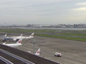
A runway across the middle of the frame, aircraft taxiing, taking off and landing, the control tower and terminals on the horizon, and a fenced service road and drainage channel in the foreground. A small HTB logo and a LIVE caption stay on screen.
Winters are snowy and cold, with January lows of -13°C (9°F) and 227 centimeters (89 inches) of snow a year. Summers are mild, with August highs of 25°C (77°F).
It can. Winter weather closes runways at times, and the neighboring Chitose Air Base runways are occasionally used to relieve those closures. Check with your airline for a specific flight, since the camera shows conditions and not flight status.
JR Hokkaido trains leave from New Chitose Airport Station inside the airport, and the fastest reach Sapporo Station in 33 minutes.
Yes. The airport lists an Observation Deck among its facilities, which makes it the obvious spot for plane spotting in person.
Hokkaido Television Broadcasting, the Sapporo TV station known as HTB. It runs the camera with sister streams at JR Sapporo Station and the Susukino crossing.
HTB streams the camera 24 hours a day but says the picture can drop out during maintenance or an emergency. At night the view is limited to the airfield and terminal lights.
Les meilleures nouvelles webcams en direct et fonctionnalités du site, une fois par semaine.
En vous abonnant, vous acceptez de recevoir notre courriel hebdomadaire. Vous pouvez vous désabonner à tout moment.
 15°C / 59°F