
 Polski
 简体中文
 Deutsch
 English
 Français
 Español
 Nederlands
 Svenska
 Italiano
 日本語
 Português
 Русский
 Ελληνικά
 العربية
 Türkçe
Live
Marina Boones Ferry, Wilsonville, Oregon
Boones Ferry Marina, Boones Ferry Crossing Northeast, Aurora, OR, USA
 12.6°C / 54.7°F
 10:1010:10:51
 12.8°C / 55°FDuże zachmurzenie
 88%
 35 km/h / 22 mph
 07:07
 16:57
Ładowanie prognozy…
Boones Ferry Marina, Boones Ferry Crossing Northeast, Aurora, OR, USA
12.6°C / 54.7°F
10:10
Oak Creek, McDonald-Dunn Forest, Oregon, USA
9.8°C / 49.6°F
10:10
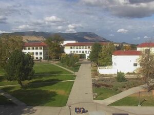
EOU Quad, La Grande, hrabstwo Union, Oregon, USA
7.4°C / 45.3°F
10:10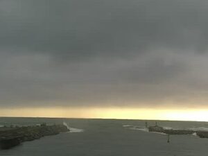
Chetco River Bar, Brookings Harbor, Oregon, USA
12.4°C / 54.3°F
10:10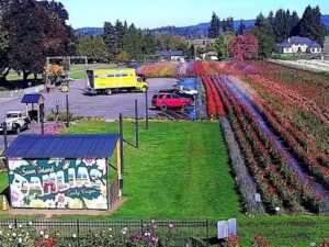
Park stanowy Smith Rock, Terrebonne, Oregon, USA
8.3°C / 46.9°F
10:10
Chinook Winds Casino Resort, Northwest 44th Street, Lincoln City, OR, USA
12.4°C / 54.3°F
10:10
Old Towne Orange, hrabstwo Orange, Kalifornia, USA
 17.4°C / 63.3°F
10:10

Holden Beach, hrabstwo Brunswick, Karolina Północna, USA
14°C / 57.2°F
13:10
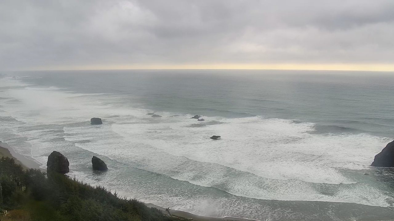
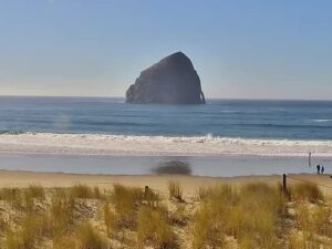
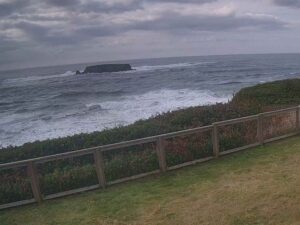
The Pistol River Webcam looks down from a brush-covered hillside onto the surf at Pistol River, a windsurfing beach on the southern Oregon coast in Curry County. Dark sea stacks stand in the breakers below the camera, a sandy beach curves away along the left of the frame, and smaller rocks break the white water farther out before the open Pacific runs to the horizon. The scene is at its wildest when a big swell is running and lines of foam stack up between the rocks. On calmer days the surf can drop to a few clean lines, and more of the beach shows at low tide. Surfchex, a surf camera network that put its first camera online on the North Carolina coast in 1998, runs this camera and streams it on its own website, so the player opens the live feed there.
Pistol River is a small unincorporated community just east of U.S. Route 101, about 15 kilometers (9 miles) south of Gold Beach and 27 kilometers (17 miles) north of Brookings in a straight line. The 2020 census counted 89 residents, and the local post office opened in 1927. The town takes its name from the river, and the river takes its name from an incident in 1853, when militia soldier James Mace lost his pistol in it during the Rogue River Wars. In March 1856 the river mouth saw fighting again, in what Oregon State Parks calls a decisive battle of the Rogue River Indian War.
The beach and dunes around the river mouth belong to Pistol River State Scenic Viewpoint, land the state acquired between 1962 and 1969. The river has changed course across the sand many times, and the pothole ponds it leaves behind draw waterfowl and shorebirds. The dunes here grow during spring and summer. To the north, a sandy beach scattered with offshore sea stacks runs for about 4 kilometers (2.5 miles) up to the forested headland of Cape Sebastian.
Wind is the other reason people know the name. Ocean windsurfing at Pistol River is good enough that the beach has hosted several national championships, and the International Windsurfing Tour holds its Pistol River Wavebash here every year. Surfchex began in 1997, when a local meteorologist set up a camera and weather station on the Oceanic Pier in Wrightsville Beach, North Carolina. The network now runs about 50 cameras, and Pistol River and Bandon are its only two in Oregon.
The nearest long-running weather station is in Gold Beach, a short drive up the coast. Its 1991 to 2020 normals put winter highs around 13°C (55°F) in December and January, with lows near 6°C (43°F). Rain arrives with the Pacific storms between October and April. December alone averages 335 millimeters (13.2 inches), and the yearly total comes to about 1,910 millimeters (75 inches). Snow is very rare, averaging only about 5 millimeters (0.2 inches) a year. Storm swells in the wet season can fill the frame with white water from the beach out past the farthest rocks.
Summer is mild and dry. July and August highs sit near 20°C (68°F), September is just as warm at 20°C (69°F), and nights stay around 12°C (53°F). July averages only 7 millimeters (0.27 inches) of rain, the driest month of the year. Spring warms slowly, with April highs about 15°C (59°F), and autumn cools to 14°C (57°F) by November. Even under heavy overcast, a pale band of light can sit along the horizon in the afternoon, when the sun is out over the ocean.
Pistol River State Scenic Viewpoint is open for day use all year, with beach access, and the dunes and ponds by the river mouth are a good place to look for shorebirds. South of the river, Samuel H. Boardman State Scenic Corridor begins at the viewpoint’s edge and follows 19 kilometers (12 miles) of steep, forested coast toward Brookings. The Oregon Coast Trail winds through it past 300-year-old Sitka spruce and several natural arches and bridges, and the roughly 130 rocks and islands off its shore are protected within the Oregon Islands National Wildlife Refuge. At the Indian Sands site inside the corridor, archaeologists have found evidence of people on this coast 10,000 to 12,000 years ago.
North of the beach, Cape Sebastian State Scenic Corridor has an overlook high above the sea and a trail out along the headland. Farther on, Gold Beach, the Curry County seat with 2,241 residents in 2020, sits at the mouth of the Rogue River, where the Isaac Lee Patterson Bridge carries the highway across. Mailboats from Gold Beach have carried mail up the Rogue to Agness since 1895, one of only two rural mailboat routes still running in the United States.
More cameras on the Oregon coast and inland:
Pistol River is on the southern Oregon coast in Curry County, just east of U.S. Route 101. Gold Beach lies about 15 kilometers (9 miles) to the north and Brookings about 27 kilometers (17 miles) to the south, both in a straight line.
The camera looks down from a hillside onto breaking surf and a cluster of dark sea stacks close to shore. A sandy beach curves away along the left side of the frame, smaller rocks sit in the surf farther out, and the open Pacific fills the rest of the view up to the horizon.
Mild and wet in winter, mild and dry in summer. Winter highs are around 13°C (55°F) with lows near 6°C (43°F), and summer highs reach about 20°C (68°F). Most of the roughly 1,910 millimeters (75 inches) of yearly rain falls between October and April, and snow is very rare.
The river was named after James Mace, a militia soldier who lost his pistol in it in 1853 during the Rogue River Wars. The community later took its name from the river.
Yes. Oregon State Parks says the ocean windsurfing is good enough that the beach has hosted several national championships, and the International Windsurfing Tour holds its Pistol River Wavebash here every year.
Surfchex streams this camera only on its own website, so the player links straight to the live feed on the Surfchex page, which also carries tide times, wind and a local forecast for Pistol River.
The viewpoint itself has beach access, dunes and bird-filled ponds by the river mouth. Samuel H. Boardman State Scenic Corridor starts just to the south, with the Oregon Coast Trail, natural arches and old Sitka spruce, and Cape Sebastian’s overlook is a short drive north.
Źródło: Surfchex
Najlepsze nowe transmisje na żywo z kamer internetowych i funkcje witryny, raz w tygodniu.
Subskrybując, wyrażasz zgodę na otrzymywanie naszego cotygodniowego e-maila. Możesz zrezygnować z subskrypcji w dowolnym momencie.
 12.7°C / 54.9°F
 28.2°C / 82.8°F