
 Türkçe
 简体中文
 Deutsch
 English
 Français
 Español
 Nederlands
 Svenska
 Italiano
 日本語
 Polski
 Português
 Русский
 Ελληνικά
 العربية
Canlı
 09:54:25
 13°C / 55.4°F
 Parçalı bulutlu
 93%
 3 km/sa / 2 mil/sa
 06:58
 17:01
Hava tahmini yükleniyor…
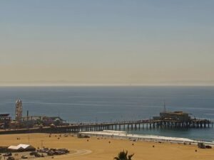

Knott's Berry Farm, Beach Boulevard, Buena Park, Kaliforniya, ABD
 14.1°C / 57.4°F
09:54


Skid Row, Central City East, Los Angeles, ABD
 15.3°C / 59.5°F
09:54
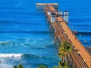
Oceanside, San Diego County, California, USA
17.9°C / 64.2°F
09:54
Two Harbors, Catalina Adası, Kaliforniya, ABD
16°C / 60.8°F
09:54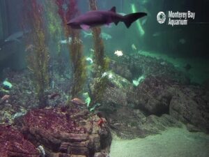
Monterey Körfezi Akvaryumu, Cannery Row, Monterey, Kaliforniya, ABD
 11.5°C / 52.7°F
09:54
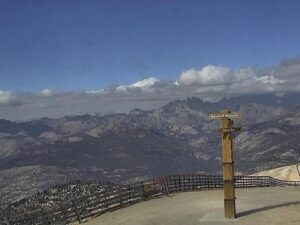
Mammoth Dağı, Mammoth Lakes, Mono İlçesi, Kaliforniya, ABD
-4.6°C / 23.7°F
09:54
Silver Lake, Los Angeles, Kaliforniya, ABD
17.4°C / 63.3°F
09:54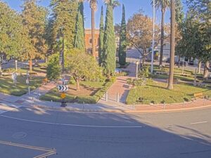
Old Towne Orange, Orange County, California, ABD
17.4°C / 63.3°F
09:54

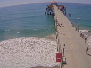
Huntington Beach İskelesi, Huntington Beach, Kaliforniya, ABD
19.4°C / 66.9°F
09:54
The Caspar Beach Webcam looks down from the Caspar Beach RV Park over a small cove on the Mendocino Coast of Northern California, where Caspar Creek runs out to the Pacific. Point Cabrillo Drive curves through the foreground, and beyond it a low grassy flat leads to the sand and the mouth of the cove. A wooded bluff with a few houses along its top closes off the left of the frame, while dark rocks and a small sea stack mark the far side of the opening. Swells roll in between the two and break on the beach, so the camera works as a quick surf and weather check for this stretch of coast. The scene shifts with the weather, from flat grey under low cloud to brighter water on clear days.
Caspar is a small unincorporated community on Highway 1, about 6 kilometers (4 miles) north of Mendocino and 10 kilometers (6 miles) south of Fort Bragg. It sits at an elevation of 25 meters (82 feet), and the 2020 census counted 500 residents. Caspar Creek crosses the south end of the community and enters the ocean at Caspar Anchorage, the little cove in this camera’s view, which is bordered by Caspar Headlands State Beach.
The town grew up around timber. Siegfried Caspar settled here in 1857 and later sold the land to Jacob Green Jackson, who had taken control of the Caspar Lumber Company by 1864. The company’s sawmill stood at the mouth of Caspar Creek, right where the beach is today, and in 1874 Jackson built a tramway pulled by mules and horses to bring in timber from Jug Handle Creek to the north. The company stayed in the Jackson family until it closed in 1955, and pilings from the old mill can still be found on the beach. The Caspar Inn, a roadhouse that opened in 1906, kept going until February 2013.
The beach and headlands are public land today because of a long conservation effort. The Mendocino Land Trust and the State Coastal Conservancy acquired the beach in 1998, and it passed to California State Parks in 2012. The headlands were bought with Coastal Conservancy funds in 2000 and transferred to State Parks in 2002. Protecting them also protected Caspar Creek, which is habitat for coho salmon, steelhead trout, osprey and shorebirds, and the area holds the southernmost stand of Sitka spruce in California.
Caspar has the cool, damp climate of the Mendocino Coast, and the ocean keeps the gap between seasons narrow. At the Fort Bragg weather station just up the highway, average highs run from about 11°C (52°F) in December and January to about 18°C (65°F) in July and September. Winter nights average around 4°C (40°F), and even midsummer nights fall to about 9°C (49°F), so a jacket is useful on the beach in any month.
Almost all of the rain falls between autumn and spring. Fort Bragg averages 1,097 millimeters (43.2 inches) a year, with December the wettest month at 220 millimeters (8.7 inches), while July averages just 1.8 millimeters (0.07 inches). In the wet season the cove can look grey and churned up for days at a time, with the grass on the flat turning a deeper green. The dry months from late spring into early autumn are the best time to catch the beach in use, with walkers on the sand and kayaks and paddle boards out on the water.
The beach itself is used for surfing, beach walking, birding and picnicking. The RV park behind the camera rents kayaks and paddle boards, and it describes the bay as having breaks for beginners as well as for more experienced surfers. Its kayaks can also be taken to Big River at Mendocino, where the water winds inland through redwood forest. Anglers and spear fishers have a fish cleaning station at the park, and its store stocks fishing gear.
A trail connects Caspar Headlands State Beach with Point Cabrillo Light Station State Historic Park, about 1.6 kilometers (1 mile) to the south. The lighthouse first shone in 1909 and still serves as an official aid to navigation, with a third-order Fresnel lens built by the English firm Chance Brothers set 25 meters (81 feet) above the sea. The Point Cabrillo Lightkeepers Association runs it for State Parks, which bought the station in 2002. Just north of Caspar, Jug Handle State Natural Reserve is home to the Ecological Staircase trail, about 4 kilometers (2.5 miles) each way. Farther south along Point Cabrillo Drive, the road reaches the entrance to Russian Gulch State Park on the way into Mendocino village.
More of the Pacific coast and the rest of California, from a busy surf pier to a wetland full of winter birds:
Caspar Beach is in the community of Caspar on the Mendocino Coast of Northern California, about 6 kilometers (4 miles) north of Mendocino and 10 kilometers (6 miles) south of Fort Bragg on Highway 1. It lies where Caspar Creek meets the Pacific, across Point Cabrillo Drive from the Caspar Beach RV Park.
The camera looks over Point Cabrillo Drive and a grassy flat to the beach and the mouth of Caspar Cove. A wooded bluff with houses on top fills the left side, and rocks and a small sea stack sit at the far side of the cove, with open ocean beyond.
The player pauses itself after about five minutes of viewing. Press play again and the live picture comes straight back.
Cool and mild all year. Average highs at nearby Fort Bragg run from about 11°C (52°F) in winter to about 18°C (65°F) in late summer, and most of the 1,097 millimeters (43.2 inches) of yearly rain falls between autumn and spring.
Yes. Surfing is one of the main uses of the beach, and the RV park says the cove has breaks for beginners and for more experienced surfers. Paddle boards and kayaks can be rented at the park.
About 1.6 kilometers (1 mile) to the south, and a trail links the two. The light station dates from 1909 and is now Point Cabrillo Light Station State Historic Park.
The Caspar Lumber Company sawmill at the mouth of Caspar Creek ran for close to a century before the company closed in 1955. Pilings from the mill can still be seen on the beach.
Source: Caspar Beach RV Park
En iyi yeni canlı web kameraları ve site özellikleri, haftada bir kez.
Abone olarak haftalık e-postalarımızı almayı kabul ediyorsunuz. İstediğiniz zaman aboneliğinizi iptal edebilirsiniz.
 9.6°C / 49.3°F
 3.5°C / 38.3°F