
 العربية
 简体中文
 Deutsch
 English
 Français
 Español
 Nederlands
 Svenska
 Italiano
 日本語
 Polski
 Português
 Русский
 Ελληνικά
 Türkçe

مباشر

Stream hours: These cameras send a new still photo about every five minutes rather than video, and the picture here reloads on its own.
 16:37:00
 6.5°C / 43.7°F
 غائم كليًا
 87%
 20 كم/س / 12 ميل/س
 08:05
 17:56
جارٍ تحميل التوقعات...



أرصفة الرحلات البحرية في أريثيفي، أفينيدا دي لوس مارموليس، أريثيفي، إسبانيا
 23.1°C / 73.6°F
15:37
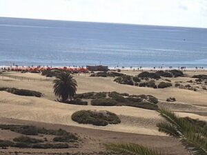
بلايا ديل إنجليس غران كناريا، ماسبالوماس، إسبانيا
 25.4°C / 77.7°F
15:37

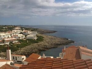
شاطئ كاستيلديفيلس، باسيج ماريتيم، كاستيلديفيلس، إسبانيا
21.7°C / 71.1°F
16:37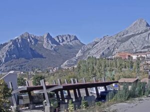

يومبو سنتروم، أفينيدا إستادوس يونيدوس، ماسبالوماس، إسبانيا
25.4°C / 77.7°F
15:37
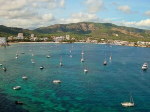
ساجرادا فاميليا، كارير دي مايوركا، برشلونة، إسبانيا
22°C / 71.6°F
16:37The Puerto de Cotos Webcam looks out from Venta Marcelino, the inn at the top of Puerto de Cotos, a mountain pass at 1,830 meters (6,004 feet) in the Sierra de Guadarrama of central Spain. The main camera faces south across a car park with a painted helicopter landing pad, toward a slope of dense pine forest and a bare, rocky ridge that often disappears into cloud. Two more cameras on the same building cover the road junction at the pass and a meadow to the north, crossed by a paved path and a wooden fence. Together they answer the questions people ask before driving up: is there snow on the ground, is the road clear, and is the cloud sitting on the tops.
Puerto de Cotos, also known as the Puerto del Paular, carries the road over the Sierra de Guadarrama between the Community of Madrid and Castile and Leon. On the Madrid side the M-604, once numbered C-604, climbs from Rascafria, one of the two municipalities that share the pass, and runs on to the Puerto de Navacerrada. On the Segovia side the road becomes the SG-615 and enters the municipality of Real Sitio de San Ildefonso. Trains reach the top as well: Cotos station is a stop on Cercanias Madrid line C-9, the mountain railway known as the Cotos line.
Only a handful of buildings stand at the pass. Venta Marcelino, whose name is on all three cameras, is a bar and restaurant that has opened every day since 1924, according to its own site. Beside it are an information center for the Sierra de Guadarrama National Park and the old chalet of the Spanish Alpine Club, a historic building now abandoned and in ruins. The pass was also the starting point of the former Valcotos ski area, and during the Spanish Civil War a Republican detachment was stationed here.
The high ground of the range rises around the pass. Penalara reaches 2,428 meters (7,966 feet), about 600 meters (1,970 feet) above the inn, and its glacial cirque holds the Laguna Grande de Penalara, a lake of glacial origin at 2,019 meters (6,624 feet). Both are reached on foot from Cotos.
The nearest long-term weather record comes from the AEMET observatory at Puerto de Navacerrada, 1,893 meters (6,211 feet) up on the same road. Its 1991 to 2020 averages describe a genuinely cold climate for central Spain. January highs average 2.8°C (37°F) and lows -2.9°C (27°F), and the observatory records snowfall on about 71 days a year. December through March is when the cameras are most likely to show snow lying on the meadow, banks of it along the road and cloud pressed down on the pines. Spring comes late at this height: April still averages a high of only 8.0°C (46°F), with nights just above freezing at 0.3°C (33°F).
Summer is short and mild. July and August highs average 23.0°C (73°F) and 22.8°C (73°F), with lows around 11.7°C (53°F). Autumn cools quickly: October averages 11.2°C (52°F) by day, and November drops to highs of 5.5°C (42°F) with lows of 0.0°C (32°F). Annual precipitation at the observatory is 1,282 millimeters (50.5 inches), so fog and low cloud can fill the frames for hours before lifting to show the ridge again.
Cotos is the main trailhead for the Penalara massif. The best known walk climbs from the pass to the Laguna Grande de Penalara, and longer routes continue to the summit of Penalara itself. The Madrid regional transport consortium publishes route sheets for the Penalara ascent and for the Cabezas de Hierro, both starting at Cotos, and other paths lead toward the Bola del Mundo. In winter the pass has a ski and sled rental shop and two sledding runs, and a side road leads from the pass to the Valdesqui ski resort.
Venta Marcelino serves traditional mountain cooking every day, with large white beans in the La Granja style, Madrid-style tripe stew, a big beef rib steak and milk-fed lamb chops among its specialties, followed by homemade desserts. From the pass, the M-604 descends to Rascafria on the Madrid side, while the SG-615 heads into Real Sitio de San Ildefonso on the Segovia side. If you plan to come up by train, check the current Renfe timetable for line C-9 first, as service on the mountain line can change.
For more mountain weather in Spain, the capital at the foot of the range and another high road pass, try these.
Puerto de Cotos is in the Sierra de Guadarrama in central Spain, on the boundary between the Community of Madrid (Rascafria) and the province of Segovia in Castile and Leon (Real Sitio de San Ildefonso). It lies about 50 kilometers (31 miles) north-northwest of central Madrid and about 19 kilometers (12 miles) southeast of Segovia in a straight line.
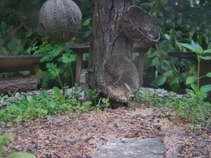
The main camera looks south over a car park and helicopter landing pad to pine forest and a rocky ridge. The other two show the road junction at the pass, with the paved walkway and steps in front of the inn, and a meadow to the north crossed by a curving path, with a tall lone conifer and a pine covered hillside behind.
Cold and snowy in winter, mild in summer. At the nearby Navacerrada observatory, January averages a high of 2.8°C (37°F) and a low of -2.9°C (27°F), July a high of 23.0°C (73°F), and snow falls on about 71 days a year.
The cameras are the quickest way to check. The north meadow and the road junction show whether snow is lying at the pass, while the main camera shows how far down the ridge it reaches. For road conditions, the Community of Madrid publishes reports on the state of its mountain passes, including Cotos and Navacerrada.
The pass is at 1,830 meters (6,004 feet). Penalara, the peak above it, reaches 2,428 meters (7,966 feet), and the Laguna Grande de Penalara sits at 2,019 meters (6,624 feet).
Yes. The trail to the lake and the longer route to the summit of Penalara both start at the pass, next to the national park information center. The path can carry snow and ice in winter and spring.
The cameras send still photographs rather than video, and each new image replaces the last one through the day. The page reloads the picture on its own, so leaving it open keeps the view current.
Source: Venta Marcelino
أفضل كاميرات الويب المباشرة الجديدة وميزات الموقع، مرة واحدة في الأسبوع.
بالاشتراك، فإنك توافق على تلقي رسالتنا الإلكترونية الأسبوعية. يمكنك إلغاء الاشتراك في أي وقت.
 17°C / 62.6°F