
 Italiano
 简体中文
 Deutsch
 English
 Français
 Español
 Nederlands
 Svenska
 日本語
 Polski
 Português
 Русский
 Ελληνικά
 العربية
 Türkçe
Live
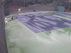
Wikiup Tennis Club, Santa Rosa, California
Larkfield-Wikiup, contea di Sonoma, California, USA
 11.6°C / 52.9°F
 11:1611:16:42
 11°C / 51.8°F
 Cielo sereno
 63%
 21 km/h / 13 mph
 06:26
 16:39
Caricamento delle previsioni…
Larkfield-Wikiup, contea di Sonoma, California, USA
11.6°C / 52.9°F
11:16

Bear Valley, Contea di Alpine, California, Stati Uniti
 -1.5°C / 29.3°F
11:16
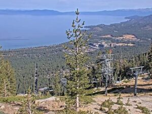
South Lake Tahoe, Lago Tahoe, California, Stati Uniti
 -5.4°C / 22.3°F
11:16
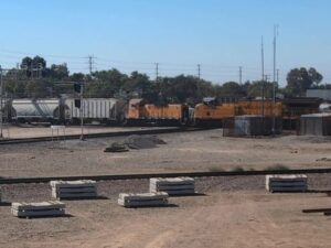
Stockton, Contea di San Joaquin, California, Stati Uniti
 9.6°C / 49.3°F
11:16
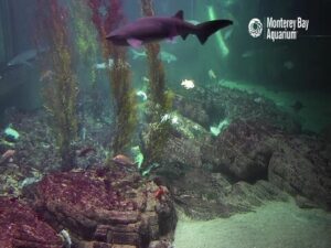
Acquario di Monterey Bay, Cannery Row, Monterey, California, USA
11.5°C / 52.7°F
11:16

Harbor Island, San Diego Bay, California, USA
17.9°C / 64.2°F
11:16
Leadbetter Beach, Santa Barbara, California, Stati Uniti
14.8°C / 58.6°F
11:16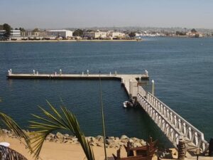
Hidden Valley Lake, contea di Lake, California, USA
7°C / 44.6°F
11:16
El Porto, Manhattan Beach, California, Stati Uniti
17.5°C / 63.5°F
11:16
Mount Lee, Griffith Park, Los Angeles, USA
16.4°C / 61.5°F
11:16
Horseshoe Cove, Bodega Head, California, USA
12.6°C / 54.7°F
11:16The Daggett Train Webcam watches the BNSF Needles Subdivision at milepost 737.8 in Daggett, a small railroad town in California’s Mojave Desert about 16 kilometers (10 miles) east of Barstow. One SouthWest RailCams stream carries two views stacked on top of each other, and both look north across the main line. The upper picture, labeled West, is the wide one: desert scrub in front, the track running across the frame, and the low roofs, trailers and trees of Daggett beyond it. The lower picture, labeled PTZ, is a closer view of a grade crossing and a yellow Welcome to Daggett sign. Behind both rise the rust and purple slopes of the Calico Mountains, with the white CALICO letters on the hillside. A double-stack container train can fill the whole width of either view.
Daggett was founded in 1883 and named that spring for John Daggett, then Lieutenant Governor of California, after silver finds in the hills around Calico drew miners to the area. Borax came next. For two years the town was the terminal of the twenty-mule teams, and in 1898 the Borate and Daggett Railroad was built to serve the Borate mine, about 5 kilometers (3 miles) east of Calico. The Santa Fe once planned to make Daggett its main station in the area, with a rail yard, but moved the job to Barstow instead. The town sits at about 614 meters (2,014 feet).
The railroad came in 1882, when the Southern Pacific, together with the Atlantic and Pacific Railroad, was completing its line from Mojave through the area. Today that route is BNSF’s Needles Subdivision, the line in front of the camera. In 1903 the San Pedro, Los Angeles and Salt Lake Railroad, later part of Union Pacific, built its line from Las Vegas through Daggett, and the town is still the junction where Union Pacific trains join or leave the BNSF main line for their own track toward Yermo. So Union Pacific trains share this camera with BNSF freights, and Amtrak’s Southwest Chief runs through as well, without a stop. The stream also carries railroad radio: the BNSF road channel in the left speaker and the Union Pacific channel in the right.
Daggett has more history than its size suggests. Old Route 66 runs through town as the National Trails Highway, and the Stone Hotel stands on Santa Fe Street. The state inspection station here appeared in the 1940 film The Grapes of Wrath. Solar One, a pilot solar power tower near Daggett, ran from 1982 to 1986, was rebuilt as Solar Two in 1995 with molten salt storage, and was demolished on November 25, 2009. Barstow-Daggett Airport began in World War II as a modification center for Douglas A-20 Havoc bombers sent to the Soviet Union under Lend-Lease.
Daggett is true desert. The 1981 to 2010 averages for the Barstow-Daggett Airport weather station give about 103 millimeters (4.06 inches) of precipitation a year, and even February, the wettest month, gets only 17 millimeters (0.66 inches). Summer is fierce: July afternoons average 40°C (104°F) and nights only fall to about 23°C (73°F).
The cooler months are easier on anyone waiting trackside. January averages highs of 16°C (61°F) and lows of 2°C (36°F), April runs from about 10°C to 26°C (51°F to 79°F), and October from about 12°C to 28°C (54°F to 82°F). Because the camera faces north, the sun lights the scene from behind for most of the day. On a clear November day the bands of rust, purple and gray on the Calico slopes show plainly, and the CALICO letters stand out white against the rock.
Calico Ghost Town sits in the mountains on the camera’s horizon, about 10 kilometers (6 miles) north of Daggett off Interstate 15. Founded as a silver town in 1881, it had more than 500 mines at its height and emptied after silver lost its value in the 1890s. Walter Knott bought it in 1951 and had it restored using old photographs. He gave it to San Bernardino County in 1966, and it now runs as a county regional park. It is California Historical Landmark No. 782, and in 2005 the state named it California’s official Silver Rush Ghost Town. The giant CALICO letters on the peaks behind it are the same ones visible on this camera.
In Daggett itself, the Stone Hotel and the Daggett Historical Society museum on 2nd Street keep the town’s mining and railroad story, though the museum has kept limited opening days, so check before visiting. In Barstow, 16 kilometers (10 miles) west, the Harvey House, the former Casa del Desierto hotel and depot, now serves as an Amtrak station and holds the Route 66 Mother Road Museum and the Western America Railroad Museum, whose hours also change from time to time.
More railroad cameras from the desert and the rest of California:
The camera is in Daggett, an unincorporated town in San Bernardino County, California, about 16 kilometers (10 miles) east of Barstow in the Mojave Desert. It covers the BNSF Needles Subdivision at milepost 737.8, on the main line that runs east from Barstow toward Needles.
Two views share the screen. The upper, wide view looks north over desert scrub and the main line to the houses and trees of Daggett, with high-voltage pylons on the left and the Calico Mountains along the skyline. The lower view is closer, framed by wooden utility poles, and shows a road crossing the tracks at a grade crossing, the yellow Welcome to Daggett sign, white storage tanks, a canopy and a weathered wooden building on the right.
BNSF freight trains on the Needles Subdivision, Union Pacific trains that join or leave the main line at Daggett, and Amtrak’s Southwest Chief, which runs through without a stop. Double-stack container trains fill most of the frame when they pass.
The Calico Mountains, which rise north of town. The white CALICO letters on their slopes stand above Calico Ghost Town, roughly 10 kilometers (6 miles) away.
Hot and very dry. July highs average 40°C (104°F), January highs about 16°C (61°F) with lows near 2°C (36°F), and the whole year brings only about 103 millimeters (4.06 inches) of precipitation.
Yes. The stream includes a radio feed, with the BNSF Needles Subdivision road channel on 161.085 MHz in the left speaker and the Union Pacific channel for Daggett to Yermo on 160.710 MHz in the right.
Union Pacific’s line from Las Vegas, first built through Daggett in 1903, meets the BNSF main line here. Union Pacific trains run on BNSF track west of the junction and switch to their own line toward Yermo at Daggett.
Fonte: SouthWest RailCams
Le migliori nuove webcam in diretta e le funzionalità del sito, una volta a settimana.
Iscrivendoti, accetti di ricevere la nostra email settimanale. Puoi disiscriverti in qualsiasi momento.
 10.2°C / 50.4°F