
Live

 14:01:21
 17.2°C / 63°F
 Clear Sky
 69%
69% 15 km/h / 9 mph
 07:51
07:51 18:36
18:36Loading forecast…
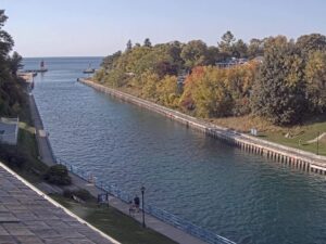

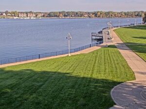
Kollen Park, Lake Macatawa, Holland, Michigan, USA
21.6°C / 70.9°F
14:01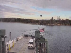
Ironton Ferry, Ferry Road, Charlevoix, MI, USA
 13.3°C / 55.9°F
14:01
13.3°C / 55.9°F
14:01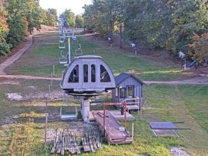
Caberfae Peaks, Caberfae Lane, Cadillac, MI, USA
19.1°C / 66.4°F
14:01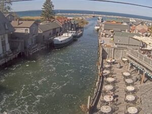
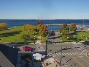
Clinch Park, Grand Traverse Bay, Michigan, USA
 13.1°C / 55.6°F
14:01
13.1°C / 55.6°F
14:01
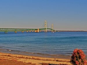
Mackinaw City, Straits of Mackinac, Michigan, USA
12.1°C / 53.8°F
14:01
Boyne Falls, Charlevoix County, Michigan, USA
9.8°C / 49.6°F
14:01


Canada Creek Ranch, Montmorency County, Michigan, USA
 12.7°C / 54.9°F
14:01
12.7°C / 54.9°F
14:01
The Port Huron Webcam watches the head of the St. Clair River in Port Huron, Michigan, at the point where the southern end of Lake Huron narrows into a channel and starts its run down toward Lake Erie. Open water fills the middle of the frame, the Canadian shore sits as a low line on the far side, and an American flag and a Canadian flag fly from poles at the left edge. Rooftops and treetops crowd the bottom of the picture. The draw is the traffic: this is one of the busiest freighter passages on the Great Lakes, and loaded lakers, ocean-going ships and tug and barge units push through the channel day and night.
Port Huron sits at the mouth of the St. Clair River in St. Clair County, on the Michigan side of the border with Ontario. The city covers 21 square kilometers (8.1 square miles) of land, stands 184 meters (604 feet) above sea level, and counted 28,983 residents at the 2020 census. Settlers arrived in 1814 and the city incorporated in 1857. The international boundary runs down the middle of the shipping channel rather than along either bank, which is why two national flags share the frame: Point Edward and Sarnia, Ontario, are directly across the water.
The Blue Water Bridge crosses just upstream of the camera. Its westbound span opened on October 10, 1938, runs 1,883 meters (6,178 feet) end to end and leaves 46 meters (152 feet) of clearance above the river. The eastbound span followed on July 22, 1997, at 1,862 meters (6,109 feet) with 47 meters (155 feet) of clearance. Together they carry Interstate 69 and Interstate 94 to their eastern terminus. The camera itself is hosted by the Blue Water Convention Center at 800 Harker Street, a short walk from the bridge approach.
Fort Gratiot Light stands on Omar Street at the river entrance. The first tower went up in 1825 and collapsed three years later; the 1829 replacement still stands at 26 meters (85 feet) with a focal plane 25 meters (82 feet) above the water, making it the oldest surviving lighthouse in Michigan. St. Clair County Parks and Recreation took ownership in 2010 and reopened the tower for seasonal climbs with Port Huron Museums in 2012. Thomas Edison grew up in the city and sold newspapers on the daily Port Huron to Detroit train run, which the Thomas Edison Depot Museum now records.
January is the cold end of the year, averaging a high near -1 C (31 F) and a low around -7 C (20 F), with roughly 90 centimeters (35.5 inches) of snow over a season. Winter is the camera’s strongest season for anyone who likes hard weather: ice drifts down out of Lake Huron and packs against the banks, steam fog rises off the channel on the coldest mornings, and the far shore can disappear for hours. The river current is strong enough that the channel rarely locks up completely, so ships keep moving through much of the winter. Spring comes late here, because the lake holds its cold well into April.
Summer is the settled season, with July highs around 27 C (81 F) and overnight lows near 18 C (65 F). The water turns a deep blue on clear days, sailboats work the lake beyond the river mouth, and the picture holds long evening light well past 21:00. Rainfall is spread through the year and totals about 886 millimeters (34.87 inches). Fog is a spring and autumn problem here, forming when warm air moves over water that has not caught up, and it can reduce the view to a grey wall with only a ship’s horn to suggest anything is passing.
The Great Lakes Maritime Center at Vantage Point is the local answer to this camera, set on the riverbank a little downstream of the Blue Water Bridge. Volunteers announce vessels as they come through, and indoor screens track shipping between Lake Huron and Lake Erie. Fort Gratiot Light opens its grounds free of charge, with seasonal tower climbs, and Port Huron Museums also runs the Thomas Edison Depot Museum, the Huron Lightship and the Carnegie Center. Lakeside Park, north of the bridge on the Lake Huron shore, has the city beach and a long view up the lake.
The sailing calendar peaks in July with the Bayview Mackinac Race, first sailed on July 25, 1925 and now the longest continuously run freshwater distance race in the world. Boats start off Port Huron and finish at Mackinac Island, covering 204 to 259 nautical miles (378 to 480 kilometers) depending on the course. For the days around the start the river fills with several hundred yachts instead of the usual freighters.
Three more Michigan cameras worth a look if this one holds your attention:
Port Huron is in St. Clair County in the southeastern corner of Michigan, at the point where Lake Huron drains into the St. Clair River. It faces Point Edward and Sarnia, Ontario, across the channel, and the Blue Water Bridge links the two sides.
The camera looks out over the head of the St. Clair River and the southern end of Lake Huron. Commercial ships pass through the channel in both directions, and an American and a Canadian flag fly at the left of the frame.
Great Lakes bulk carriers make up most of the traffic, including the thousand-foot lakers that are the largest vessels operating on the lakes. Ocean-going ships that have come in through the St. Lawrence Seaway, tug and barge units, and Coast Guard and pilot boats also use the channel.
Winters are cold and snowy, with January averaging -1 C (31 F) by day and -7 C (20 F) at night and about 90 centimeters (35.5 inches) of snow a year. Summers are mild, with July highs near 27 C (81 F). Annual precipitation is around 886 millimeters (34.87 inches).
Traffic runs around the clock through the navigation season, though daylight hours give the clearest picture. Late summer and autumn are typically the heaviest months for Great Lakes cargo, and the days around the Bayview Mackinac Race in July bring sailing fleets through instead.
The 1938 westbound span clears the river by 46 meters (152 feet) and the 1997 eastbound span by 47 meters (155 feet), which is enough for any vessel on the Great Lakes to pass beneath.
The Canada and United States border runs down the middle of the St. Clair River shipping channel, so the camera is pointed at an international waterway. The flags stand on the American bank, with Ontario on the opposite side.
Source: StreamTime Live
The best new live webcams and site features, once a week.
By subscribing you agree to receive our weekly email. Unsubscribe any time.