
Live

 12:29:59
 11.2°C / 52.2°F
 Moderate Rain
 88%
 18 km/h / 11 mph
 08:12
 18:27
Loading forecast…
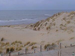
Strandpaviljoen Paal 9, Hoornderslag, Den Hoorn, Netherlands
 12°C / 53.6°F
12:29
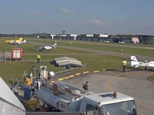
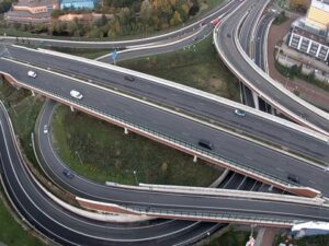
Camping Waalstrand, Waaldijk, Gendt, Netherlands
11.1°C / 52°F
12:29
Erasmusbrug, Nieuwe Maas, Rotterdam, Netherlands
 12.3°C / 54.1°F
12:29


Kijkduin, The Hague, Netherlands
 12.5°C / 54.5°F
12:29
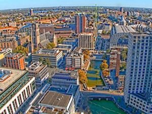
Markthal, Laurenskwartier, Rotterdam, Netherlands
12.3°C / 54.1°F
12:29
The Roermond Webcam looks out from the city’s TV tower in the south of Roermond, about 100 meters (330 feet) above the ground, and turns between the town and the river country around it. One view follows the Maas north toward the old town, where the towers of the Munsterkerk and St. Christopher’s Cathedral rise over the rooftops. Another looks down on a marina packed with motor yachts and the Maasplassen beyond it, a chain of lakes and green islands running off toward the horizon. A third faces east over red-roofed streets, a small river and a sports park with floodlights. The picture shifts every few minutes, and on a clear day the operator says it can see 50 kilometers (31 miles).
Roermond lies on the lower Roer, on the east bank of the Maas, in the Dutch province of Limburg. The municipality had 58,763 residents in January 2021. The end of the Second World War hit the town hard: by liberation in 1945, about 90 percent of its buildings were damaged or destroyed, and St. Christopher’s Cathedral was among them. Restoration rebuilt the old center.
The Munsterkerk, about 1.4 kilometers (0.9 miles) northeast of the tower, was built between 1220 and 1265 as the church of a Cistercian abbey for women. The rest of the abbey was demolished in 1924. Its two front towers, 55 meters (180 feet) high, were added during Pierre Cuypers’ restoration of 1863 to 1890, which was controversial at the time. The 1992 earthquake brought down the church’s two eastern towers, and they were rebuilt soon afterwards.
The camera belongs to Toren7, which has workspaces near the top of the TV tower at about 100 meters (330 feet). The tower itself is more than 150 meters (490 feet) tall, and the operator calls it the highest point in central Limburg. West and south of it, the Maasplassen cover about 30 square kilometers (11.6 square miles). They are flooded gravel pits. Gravel was dug along the Maas from the 19th century, the large floodplain excavations came after the Second World War, and most of the digging stopped after 1990. Between Roermond and Thorn the lakes join into one recreation area of about 15 square kilometers (5.8 square miles).
Roermond has a mild, damp climate with rain spread through the whole year. Averaged over 2015 to 2024, January highs are about 6 C (43 F) with lows near 1 C (34 F), and December and February run a degree or two warmer. Spring warms quickly, from about 11 C (52 F) in March to 19 C (66 F) in May, and April is the driest month at around 50 millimeters (2 inches) of rain. July and August average highs of about 24 C (75 F) and lows near 15 C (59 F).
Autumn cools from about 20 C (68 F) in September to 16 C (60 F) in October and 10 C (50 F) in November. The year brings roughly 840 millimeters (33 inches) of rain. Haze is the camera’s usual limit: on grey days the far shore of the lakes fades into the sky, while clear air can stretch the view to the operator’s 50 kilometers (31 miles).
Inside the Munsterkerk, the tomb of Count Gerard of Gelre and his wife Margaretha van Brabant stands in the center of the church, under the dome. St. Christopher’s Cathedral is about 1.5 kilometers (0.9 miles) north-northeast of the tower. On Pierre Cuypersstraat, about 1 kilometer (0.6 miles) east of the tower, the Cuypershuis museum carries the name of the architect who rebuilt the Munsterkerk’s front. Designer Outlet Roermond, on the Stadsweide about 2.1 kilometers (1.3 miles) north-northeast, is the big shopping draw on the north side of the center.
In Roermond-Zuid, about 1.5 kilometers (0.9 miles) east of the tower, stands the Kapel in ‘t Zand. In 1613, 64 people accused of witchcraft were burned on the Galgeberg nearby, in the largest witch trial ever held in the Netherlands. On the water, marinas such as Oolder Huuske are the bases for boating on the Maasplassen, and the lakes reach south toward Thorn. For a walk away from the river, De Meinweg National Park lies about 8 kilometers (5 miles) east of the tower, near Herkenbosch.
For more views from the Netherlands and across the German border, try these:
The camera moves between several views from the TV tower. Looking north, the Maas runs toward the old town, with the towers of the Munsterkerk and St. Christopher’s Cathedral above the roofs. Looking west, a large marina, green islands and the open water of the Maasplassen fill the frame. To the east it takes in the town’s southern streets and a sports park, and the operator also zooms in on the two churches.
On the TV tower in the south of Roermond, in the province of Limburg in the southeast of the Netherlands, at a height of about 100 meters (330 feet). The tower stands about 1.4 kilometers (0.9 miles) southwest of the Munsterkerk. Maastricht Aachen Airport is about 35 kilometers (22 miles) to the south, and Eindhoven Airport is about 51 kilometers (32 miles) away.
Toren7 is the operator of this camera. It has workspaces at the top of Roermond’s TV tower and set up the camera to share that view with people in Roermond and central Limburg and with visitors planning a trip. The stream has run on YouTube since December 31, 2021.
No. The outlet is not one of the views the camera is aimed at. Designer Outlet Roermond lies about 2.1 kilometers (1.3 miles) north-northeast of the tower, beyond the old town, while the camera’s tour centers on the two church towers, the Maas and the lakes.
Not at street level. The old town is about 1.5 kilometers (0.9 miles) from the tower, so the camera sees its rooftops and church towers rather than the squares and the station forecourt between them.
The westward views look down on a large marina full of motor yachts, with more boats laid up on land beyond it beside the river. Roermond City Marina, in the OolderVeste waterside district, lies about 750 meters (0.5 miles) west of the tower, in the direction those views face.
Mild and damp. Over 2015 to 2024, January averaged highs of about 6 C (43 F) and July and August about 24 C (75 F), with roughly 840 millimeters (33 inches) of rain spread across the year. Haze can soften the far side of the lakes on camera.
Source: Toren7 Roermond
The best new live webcams and site features, once a week.
By subscribing you agree to receive our weekly email. Unsubscribe any time.
 11.8°C / 53.2°F