
Live

 18:52:09
 4.4°C / 39.9°F
 Scattered Clouds
 84%
 08:06
 18:34
Loading forecast…

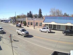

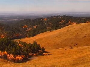
Montana Whitewater - Yellowstone, Gardiner, MT, USA
 2°C / 35.6°F
18:52


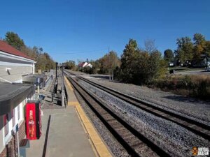
La Plata, MO Virtual Railfan Webcam, North Owensby Street, La Plata, Missouri, USA
 17.2°C / 63°F
19:52



Continuum College, Brooklyn Avenue Northeast, Seattle, WA, USA
 11.2°C / 52.2°F
17:52


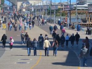
Atlantic City, Absecon Island, New Jersey, USA
 10°C / 50°F
20:52

The Mission Mountain Range Webcam looks east from Ninepipes Lodge near Charlo, Montana, across a quiet pond to the western face of the Mission Mountains. The water takes up the lower half of the picture, and on still mornings it holds a mirror image of the peaks and the trees along its edge. On the far bank, golden grass, reeds and a line of trees frame the shore, with a white tipi on the right and the flat floor of the Mission Valley running out to the foot of the range. Because the camera faces east, the sun comes up behind the summits, and on a clear morning the clouds above them can glow orange.
The Mission Mountains run along the east side of the Mission Valley in northwestern Montana, in Lake and Missoula counties, with the Swan River Valley on their far side. From the lodge they rise straight off the valley floor with almost no foothills in between, which is why the whole wall of peaks fits into one wide shot. The highest summit, McDonald Peak, reaches 2,990 meters (9,820 feet) and stands about 15 kilometers (9 miles) east-southeast of the camera. Most of the range is built from Belt rock, sedimentary layers laid down between 1.47 and 1.4 billion years ago.
Both sides of the crest are protected. The eastern slope is the Mission Mountains Wilderness, 29,897 hectares (73,877 acres) of Flathead National Forest designated on January 4, 1975. The western slope, the side the camera faces, is tribal wilderness on the Flathead Indian Reservation, with Elizabeth Falls among its waterfalls. The southern end holds a large grizzly bear protection area that is usually closed to hikers from July through September.
Ninepipes Lodge sits on US Highway 93 inside the Ninepipe Wildlife Management Area, on the edge of the Ninepipe National Wildlife Refuge. The refuge was established in 1921 and lies 8 kilometers (5 miles) south of Ronan. Most of it is a reservoir, set in a wetland complex of more than 800 glacial potholes that draws over 200 bird species. The camera is run by explore.org together with the Owl Research Institute, which studies owls from its Ninepipes Center research station in the same valley.
The Mission Valley has cold winters and warm, dry summers. Averages for the valley floor near the lodge from 2015 to 2024 put December through February highs at about 1 to 2 C (34 to 35 F), with nights around -4 to -5 C (23 to 25 F). That is when the pond freezes and the camera looks over a sheet of ice to peaks that stay white for months. Spring warms slowly: March highs average 7 C (45 F), April 12 C (53 F) and May 18 C (64 F), and April nights still drop to about 2 C (36 F).
July is the warmest month, with highs near 29 C (83 F) and lows of 17 C (62 F), and August is almost as warm at 28 C (82 F). September cools to highs of 21 C (70 F), October to 13 C (56 F) with nights near 5 C (41 F), and November to 6 C (42 F). Fall is when the camera is at its most colorful: in early October 2026 the trees along the pond had turned yellow while fresh snow dusted the summits behind them.
Bird watching on the Ninepipe wetlands starts at the lodge itself. Grebes, Canada geese, bitterns, great blue herons and several kinds of duck nest on the refuge, and osprey platforms stand at one end of its lake. Directly across the highway from the refuge, the Ninepipes Museum of Early Montana tells the history of the Flathead Indian Reservation and early Montana through artifacts, historical photographs, beadwork and traditional tools.
About 15 kilometers (9 miles) southwest of the camera as the crow flies, the CSKT Bison Range covers 7,496 hectares (18,524 acres) from its entrance at Moiese. It was created on May 23, 1908, when Theodore Roosevelt authorized the first federal money spent buying land for wildlife, and the Confederated Salish and Kootenai Tribes have managed it since January 2022. Red Sleep Drive, its scenic road into the hills, reopens each May, and the highest ground on Red Sleep Mountain reaches 1,489 meters (4,885 feet).
Three more cameras in western Montana, from Flathead Lake to the Continental Divide:
The camera is at Ninepipes Lodge on US Highway 93 near Charlo, in the Mission Valley of Lake County, Montana. The lodge lies within the Ninepipe Wildlife Management Area on the Flathead Indian Reservation, about 64 kilometers (40 miles) north of Missoula as the crow flies, and the camera points east at the mountains.
The main view crosses a pond to the western face of the Mission Mountains, with reeds, trees and a white tipi on the far bank and the range reflected in the water when the air is calm. The camera sometimes turns away to wider valley views, and the operator says those occasionally take in the Bison Range.
McDonald Peak is the highest point in the range at 2,990 meters (9,820 feet). It stands about 15 kilometers (9 miles) east-southeast of the lodge, so it lies in the direction the camera faces.
Yes. The eastern slope is the federal Mission Mountains Wilderness, run by the Swan Lake Ranger District of Flathead National Forest, and the western slope is tribal wilderness, so check with the Confederated Salish and Kootenai Tribes before hiking that side. Plan around the grizzly bear protection area at the southern end of the range, which is usually closed to hikers from July through September.
Winters are cold, with daytime highs of about 1 to 2 C (34 to 35 F) from December to February, and summers are warm and dry, with July highs near 29 C (83 F).
The operator points to waterfowl, raptors and painted turtles, the turtles mostly on sunny afternoons. The Ninepipe refuge next door draws over 200 bird species, from grebes and bitterns to great blue herons and ospreys.
Only now and then. The usual view is the mountains to the east, but the operator says the camera occasionally swings to valley views that show the Bison Range, about 15 kilometers (9 miles) southwest at Moiese.
Early morning. The camera faces east, so the sun rises behind the peaks and can light up the clouds above the crest on clear days, and calm air at that hour gives the sharpest reflections in the pond.
The best new live webcams and site features, once a week.
By subscribing you agree to receive our weekly email. Unsubscribe any time.
 6.2°C / 43.2°F
 1.1°C / 34°F
 -5.6°C / 21.9°F
 23.5°C / 74.3°F