
 English
 简体中文
 Deutsch
 Français
 Español
 Nederlands
 Svenska
 Italiano
 日本語
 Polski
 Português
 Русский
 Ελληνικά
 العربية
 Türkçe
Live
 10:26:14
 11.2°C / 52.2°F
 Overcast Clouds
 80%
 2 km/h / 1 mph
 06:50
 17:35
Loading forecast…
Winston-Salem, Forsyth County, North Carolina, USA
 13.5°C / 56.3°F
10:26

Sunset Beach, Brunswick County, North Carolina, USA
16.8°C / 62.2°F
10:26
Eastern Backwoods Outdoors, State Road, North Carolina, USA
13.3°C / 55.9°F
10:26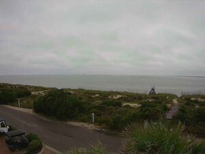
Bald Head Island, Cape Fear, North Carolina, USA
17.7°C / 63.9°F
10:26
Holden Beach, Brunswick County, North Carolina, USA
17.9°C / 64.2°F
10:26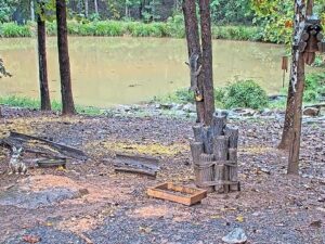
Critter Cove, Piedmont Triad, North Carolina, USA
12.5°C / 54.5°F
10:26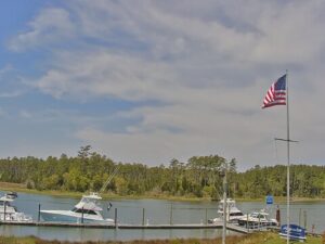


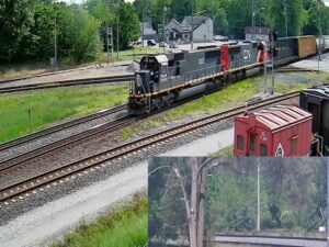
E.J. and E. Griffith Interlocking Tower, East Avenue A, Griffith, IN, USA
12°C / 53.6°F
09:26


The Saluda Webcam looks over Main Street in Saluda, North Carolina, from above the brick storefronts of the town’s old commercial block. Two cameras run on this page, both from the City of Saluda. East Main takes in the Purple Onion’s brick wall and patio umbrellas at the lower left, a row of awnings and angled parking, then the road running away beside the railroad tracks toward wooded hills. West Main frames the street more tightly, with a maple at the right edge, a double yellow line sweeping across the picture and the tracks curving behind the parked cars. The wide lenses bend the horizon at the edges, and a label and clock run along the top of each picture. Fall color on the ridges and the changing rows of cars are what move here, because the tracks have been quiet for about 25 years.
Saluda is a very small mountain town, with 631 residents at the 2020 census. Most of it lies in Polk County, with a part in Henderson County. Main Street sits at 639 meters (2,097 feet), at the top of the steep railroad climb from the foothills. The place was settled in 1878, the year the railroad arrived, and incorporated in 1881. One local history gives its earlier name as Pace’s Gap.
The tracks in both camera views are why the town grew up here. They belong to the Saluda Grade, which the North Carolina Department of Natural and Cultural Resources calls the steepest mainline, standard-gauge grade in the nation. Over about 4.8 kilometers (3 miles), the line rises an average of 4.7 percent by the state’s figure. The first train climbed it on July 4, 1878, after a construction effort that leaned heavily on convict labor. Runaways were a constant danger, and fourteen men died in 1880 alone. An escape ramp at Melrose later let a runaway train switch onto a track running uphill to slow down. The last major derailment came in 1964.
Norfolk Southern ended freight service in December 2001, and the rails have sat idle since. In June 2025 the Saluda Grade Trails Conservancy bought the corridor of about 50.7 kilometers (31.5 miles) from the railroad, with plans for a rail trail through Saluda. The brick block still holds working businesses. Historic Thompson’s Store, a few steps from the Purple Onion, is described as the oldest grocer in North Carolina and has been open since 1892, while M.A. Pace General Store a little farther along dates from 1899.
Elevation keeps Saluda cooler than the Carolina lowlands. Averages for 2016 to 2025 from the Open-Meteo weather archive put July highs near 30°C (86°F) with lows around 20°C (68°F), so summer afternoons are warm rather than oppressive. Spring arrives gradually, with April highs near 20°C (68°F) and lows close to 9°C (48°F), and the bare trees on the hillsides fill in through the season.
October is the month to watch this camera. Highs average about 21°C (70°F) and lows about 11°C (52°F), and the hills around the town turn yellow, rust and red, as the maple in the West Main picture does at street level. Winter is short but real: January highs average around 9°C (48°F), with lows near -1°C (30°F). The same archive totals about 20 centimeters (8 inches) of snow in an average year, so a white street and rail bed are possible but not the usual winter picture.
Most of what the camera shows can be walked in a few minutes. Ward’s Grill, a 1950s-style diner, is inside Thompson’s Store, and the Purple Onion serves Mediterranean dishes with a patio outside. The Saluda Historic Depot at 32 West Main Street, about 100 meters (330 feet) from the Purple Onion, is a free museum on the area and the building of the railroad, with donations encouraged. River Dog Run, a locally owned shop, is also on East Main Street.
The hills start at the edge of town. Pearson’s Falls is a natural waterfall on a botanical preserve owned by the Tryon Garden Club, reached by a trail of about 400 meters (a quarter mile), with an entry fee. Little Bradley Falls drops about 15 meters (50 feet) in tiers in the Green River Game Lands, on a round trip of about 3 kilometers (1.9 miles). Wilderness Cove runs tubing trips on the Green River of 2.4 to 9.7 kilometers (1.5 to 6 miles), and The Gorge Zipline has 11 lines. DuPont State Recreational Forest and its High, Hooker and Triple Falls are about 35 minutes away by car.
These cameras cover other North Carolina mountain towns and another street shaped by its railroad.
Saluda is in western North Carolina, mostly in Polk County, close to the South Carolina line. This is not the town of Saluda in South Carolina. Hendersonville and Tryon are each about 20 minutes away by car, and Asheville is under an hour.
Main Street, its brick storefronts and awnings, angled parking, the Saluda Grade railroad tracks and the wooded hills around the town. There are two views, labeled East Main and West Main.
Summers are warm, with July highs near 30°C (86°F), and winters are cool, with January highs around 9°C (48°F) and lows near -1°C (30°F). Light snow is possible in winter.
No. Norfolk Southern ended service on the line in December 2001, and no trains appear on this Saluda Webcam. The rails remain beside Main Street.
The state of North Carolina gives an average rise of 4.7 percent over about 4.8 kilometers (3 miles). Other published figures put the average at 4.24 percent and the maximum at 4.9 percent. It is regarded as the steepest mainline, standard-gauge grade in the United States.
The Saluda Grade Trails Conservancy bought the corridor in June 2025, and the reports from that purchase describe planning and fundraising as the next steps. Check the project’s own site for the current state of any section.
The hillsides in both views were turning at the end of October, when this page was written, with a red maple at the edge of the West Main picture. The timing moves a little from year to year.
Source: City of Saluda
The best new live webcams and site features, once a week.
By subscribing you agree to receive our weekly email. Unsubscribe any time.