Live

 21:18:21
 4.4°C / 39.9°F
 Clear Sky
 49%
49% 21 km/h / 13 mph
 06:50
06:50 17:45
17:45Loading forecast…
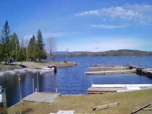
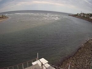
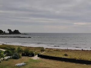
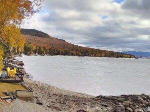
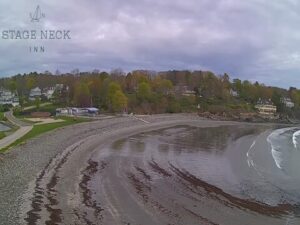
The Bar Harbor Webcam looks out from the Bar Harbor Inn on the waterfront of Bar Harbor, Maine, across Frenchman Bay to Bar Island, a wooded tidal island that belongs to Acadia National Park. Two cameras share this page. The North View faces the island and the moorings in front of the inn, and the West View keeps Bar Island in shot from a second angle across the western side of the harbor. The tide is what makes the view worth returning to. Twice a day the water drains off a long gravel bar and a path of sand, stones and tide pools appears between the town and the island, then the sea floods back until Bar Island stands on its own again.
Bar Harbor is a town of 5,089 people (2020 census) on Mount Desert Island in Hancock County. It was incorporated in 1796 as Eden and only took the name Bar Harbor in 1918, after the bar you can watch appear and disappear on this camera. The resort era began in the 1840s, when Hudson River School painters came for the rocky coast and wealthy summer visitors followed. By 1880 the town had 30 hotels and rivaled Newport, Rhode Island. In October 1947 a wildfire destroyed 67 of the town’s 222 summer cottages and five grand hotels and burned more than 10,000 acres (about 4,000 hectares) of Acadia National Park.
The camera’s host building survived that fire. The Bar Harbor Inn began in 1887 as the Mount Desert Reading Room, a cedar shingled clubhouse designed by William Ralph Emerson for the Oasis Club, a men-only society founded in 1874. A steel pier was added in 1902 for members arriving by boat from Frenchman Bay. After the fire the American Red Cross used the building as a shelter, and it has operated as an inn since 1950. It now has 153 rooms and stands at 1 Newport Drive on the Shore Path, close to the town pier and Agamont Park.
According to the National Park Service, the land bridge to Bar Island is about half a mile (0.8 kilometers) long, the water depth changes by around 12 feet (3.7 meters) between tides, and the bar can be crossed without wet feet for roughly 1.5 hours on either side of low tide. Another half mile of forest trail continues over the island. Land on the island once owned by Jack Perkins joined Acadia National Park in 2003.
Winters are cold and snowy. January highs average about -1 C (31 F) and lows about -10 C (14 F), and the town gets roughly 170 centimeters (67 inches) of snow a year. On a winter day the camera can show snow on the island’s trees and along the tide line, with most of the summer boats gone from the moorings. The bar still appears at every low tide, so the rhythm of the view carries on even when the harbor is quiet.
Summer is mild. July highs average about 26 C (79 F) and lows about 15 C (59 F), and this is when the moorings fill, boats come and go across the bay and people walk out to the island at low water. Spring and autumn sit between those extremes and are the quieter months on the waterfront. Fog is part of life on this coast in any season, and on a foggy morning Bar Island can fade out of the frame completely before the sun brings it back.
The obvious outing is the walk you can watch on the Bar Harbor Webcam. Check a tide table, arrive around low tide and cross the bar to Bar Island, looking into the tide pools the water leaves behind, then follow the trail through the woods to a viewpoint back over the town and Frenchman Bay. Keep an eye on the time. Right outside the inn, the Shore Path, laid out in 1881, runs along Frenchman Bay from the town pier beside Agamont Park, an easy gravel walk with views of the Porcupine Islands.
Acadia National Park surrounds the town. Cadillac Mountain, the highest point within 40 kilometers (25 miles) of the eastern coast of the United States, is the park’s best known summit, and Jordan Pond with the rounded hills called the Bubbles is one of its most visited corners. The same camera network also covers Jordan Pond, Southwest Harbor, Northeast Harbor and Bass Harbor elsewhere on Mount Desert Island. Bar Harbor is a busy cruise port too, with 154 ship visits and more than 222,000 passengers in 2018, so the waterfront feels very different on a ship day.
For more of the Maine coast and North Atlantic harbors, try these next.
Bar Harbor is on Mount Desert Island in Hancock County, Maine. The town faces Frenchman Bay and borders Acadia National Park. The camera sits at the Bar Harbor Inn on Newport Drive, beside the town pier.
The North View looks across the moorings in front of the inn to Bar Island, and the West View shows the island from a second angle. Depending on the tide, the gravel bar between the town and the island is either under water or exposed as a walkable path.
January highs average about -1 C (31 F) with lows near -10 C (14 F), and about 170 centimeters (67 inches) of snow falls a year. July highs average about 26 C (79 F) with lows near 15 C (59 F).
The National Park Service says the bar can be crossed for about 1.5 hours on either side of low tide. If low tide is at 11:30 in the morning, the crossing is open from about 10:00 until 1:00.
The water rises about 12 feet (3.7 meters) between tides, so the bar soon floods. Anyone stranded has to call a water taxi or wait roughly nine hours for the next low tide.
Yes. Bar Island is a tidal island in Frenchman Bay within Acadia National Park. The former Jack Perkins land on the island was added to the park in 2003.
The town is named after the shallow bar between the waterfront and Bar Island, the same feature visible on this camera at low tide. It was called Eden from 1796 until 1918.
Source: Boston and Maine Live
The best new live webcams and site features, once a week.
By subscribing you agree to receive our weekly email. Unsubscribe any time.