Live

 10:46:02
 18.1°C / 64.6°F
 Few Clouds
 57%
57% 7 km/h / 4 mph
 07:13
07:13 18:46
18:46Loading forecast…

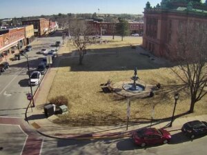
Grant County Clerk of Court, West Maple Street, Lancaster, WI, USA
 19.8°C / 67.6°F
11:46
19.8°C / 67.6°F
11:46


St. Augustine, Anastasia Island, Florida, USA
 29.5°C / 85.1°F
12:46
29.5°C / 85.1°F
12:46
Midway International Airport, South Cicero Avenue, Chicago, IL, USA
22.2°C / 72°F
11:46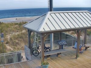
Seaside Heights, Barnegat Peninsula, New Jersey, USA
15.6°C / 60.1°F
12:46

Continuum College, Brooklyn Avenue Northeast, Seattle, WA, USA
8.3°C / 46.9°F
09:46
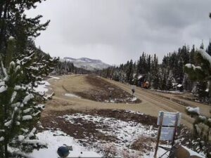

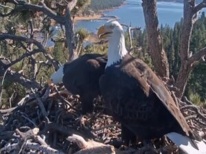
Big Bear Valley Recreation and Park District, Park Avenue, Big Bear Lake, CA, USA
13.8°C / 56.8°F
09:46
Lucky Bastard Saloon, Broadway, Nashville, TN, USA
16.5°C / 61.7°F
11:46The Silver City Webcam looks north along Bullard Street from the Broadway corner, in the old commercial district of Silver City, New Mexico. Two story brick storefronts line both sides, several still carrying their original cast iron fronts, and the street runs away toward the low wooded ridges of the Pinos Altos Range. Cars fill the curbs through the working day and traffic stays light, so the block reads as a main street rather than a through route. Light does the rest, flat at midday, long and low by late afternoon.
The town began in 1870, after silver ore turned up at Chloride Flat, and was incorporated on January 14, 1876. The county seat of Grant County, it counted 9,704 residents at the 2020 census. It sits in the San Vicente Arroyo valley at 1,804 meters (5,919 feet), about 5 kilometers (3 miles) east of the Continental Divide, on the edge of the Gila National Forest. Black Peak, the high point of the Pinos Altos Range closing the end of the street, reaches 2,752 meters (9,029 feet).
The street owes its position to a flood. On the night of July 21, 1895, water tore through the business district and left the old Main Street roughly 17 meters (55 feet) below its former grade. Merchants turned their back doors into front doors, and Bullard became the commercial spine it still is; the scar is now Big Ditch Park, one block east. Everything in frame sits inside the Silver City Historic District, listed on the National Register on May 23, 1978 with 38 contributing structures, and the red brick corner on the right is 200 North Bullard Street, the junction the Silver City Webcam is mounted above.
The climate is semi arid and high, which keeps the air dry and the sky open about 295 days a year. June is the hottest month at 31 C (87 F) by day and 14 C (57 F) overnight. December is the coldest, near 11 C (52 F) and -2 C (28 F), and the record low of -25 C (-13 F) dates from January 11, 1962. Snow averages 18 centimeters (7 inches) across a winter, so a white street here is brief.
The North American monsoon, early July to mid September, changes the picture more than any other season. August is the wettest month, near 51 millimeters (2.0 inches), and the cloudiest, overcast or mostly cloudy 42 percent of the time. Afternoons often darken over the Pinos Altos ridges before rain reaches the street. April averages 21 C (70 F), and October, at 22 C (71 F), gives the year’s cleanest light on Bullard Street.
The Silver City Museum stands one block from the camera at 312 West Broadway, in the H.B. Ailman House of 1881, a fire station and city hall before it became a museum in 1967. Western New Mexico University, founded in 1893 as the New Mexico Normal School, is a short walk uphill, and its museum holds the largest collection of Mimbres pottery in the world.
Boston Hill Open Space starts at the western edge of town, walkable from Bullard Street, and its trails cross old hard rock workings that still carry their mining names, among them the Adonis Pits and the King Bolt Pit. Gila Cliff Dwellings National Monument lies 71 kilometers (44 miles) north along NM 15, a slow winding drive to rooms built into the cliffs between 1275 and 1300.
Three more cameras from this corner of the Southwest.
In Grant County, in the southwest corner of New Mexico, about 5 kilometers (3 miles) east of the Continental Divide.
Brick storefronts and awnings down both sides of Bullard Street, cars along the curbs, and the wooded Pinos Altos ridges beyond.
Dry and sunny most of the year. June averages 31 C (87 F), December about 11 C (52 F), and the monsoon peaks in August.
1,804 meters (5,919 feet), high enough that summer nights cool sharply and winter mornings can start below freezing.
What the 1895 flood left behind: the old Main Street, dropped roughly 17 meters (55 feet) and now Big Ditch Park.
Late morning to mid afternoon in Mountain Time gives the fullest street; the hour before sunset throws long shadows down the block.
Source: Terrafox Networks
The best new live webcams and site features, once a week.
By subscribing you agree to receive our weekly email. Unsubscribe any time.
 7.6°C / 45.7°F