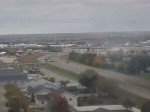
Live

 15:54:52
 7°C / 44.6°F
 Overcast Clouds
 100%
100% 30 km/h / 19 mph
 07:53
07:53 18:44
18:44Loading forecast…
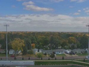



Mauna Kea Summit, Hawaii Island, Hawaii, USA
 0.3°C / 32.5°F
10:54
0.3°C / 32.5°F
10:54
Renton Municipal Airport (RNT), West Perimeter Road, Renton, Washington, USA
 17.2°C / 63°F
13:54
17.2°C / 63°F
13:54


Big Texan Steak Ranch, Amarillo, Texas
15.9°C / 60.6°F
15:54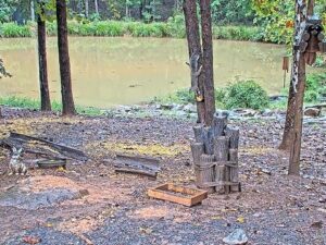
Critter Cove, Piedmont Triad, North Carolina, USA
 29.8°C / 85.6°F
16:54
29.8°C / 85.6°F
16:54

Lucky Bastard Saloon, Broadway, Nashville, TN, USA
31.7°C / 89.1°F
15:54

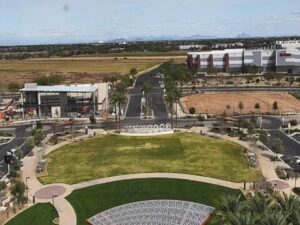
Goodyear City Hall, North Civic Square, Goodyear, Arizona, USA
24.4°C / 75.9°F
13:54
South Dakota Mines, Rapid City, South Dakota, USA
11.5°C / 52.7°F
14:54The Langdon Webcam sits near the top of a 60-foot (18-meter) radio tower in Langdon, North Dakota, and turns a slow circle over the town and the open prairie around it. One turn takes in the sky-blue water tower with LANGDON painted across its tank, rooftops half hidden in trees, grain elevators, metal farm buildings and wide fields running out to a flat horizon. For part of each sweep the red legs and cross-braces of the tower itself pass through the picture. Sky fills most of the frame, which suits a place where the weather can be seen coming from a long way off: towering summer clouds, yellow and orange leaves in the shelterbelts in October, and snow, which falls on average in every month from October to May.
Langdon is the county seat of Cavalier County in the far northeast of North Dakota, a farming town of 1,909 people at the 2020 census. It stands at 491 meters (1,611 feet) on gently rolling prairie, about 26 kilometers (16 miles) south of the Canadian border with Manitoba. The town was named for Robert Bruce Langdon, a politician and railroad official, was founded in 1885 and was incorporated on February 25, 1888. Its hold on the county seat survived a rough vote in 1887, when Langdon polled 301 votes against 246 for Olga, 55 for Rosa Lake and 11 for Lemon, amid stories of settlers who voted several times by changing their hats and coats.
The camera belongs to Simmons Multimedia, which runs the MyBorderland news site and a group of local radio stations, among them KNDK 1080 AM. It is mounted on the 60-foot Studio-Transmitter Link tower at the company’s studios at 1403 Third Street, the mast that carries programs from the studio out to the transmitters. The station’s own note on the camera points out North Dakota Highway 1, the main road east of town, and Highway 5 also passes through Langdon.
The quiet farm country around the Langdon Webcam has a Cold War story too. About 20 kilometers (12 miles) south, near Nekoma, stands the pyramid of the Stanley R. Mickelsen Safeguard Complex, the radar site of an anti-ballistic missile base that cost $6 billion and controlled 30 Spartan and 70 Sprint interceptors. It reached full operation on October 1, 1975. The next day the House of Representatives voted to shut it down, and the base was deactivated in April 1976. A data center developer bought the pyramid in 2022.
Langdon has a humid continental climate with long, hard winters. NOAA normals for the Langdon Experiment Farm station put January highs at about minus 11 C (12 F) and lows near minus 21 C (minus 5 F), and the record low is minus 46 C (minus 51 F). In the winter of 1935 to 1936 the town stayed below freezing, day and night, for 92 consecutive days. Around 120 centimeters (47 inches) of snow falls in an average year, with December the snowiest month, so the fields in front of the camera are often white from late autumn into March.
Spring warms quickly once it starts. April highs average about 9 C (48 F) and May highs about 18 C (64 F). July is the warmest month, with highs near 25 C (77 F) and lows around 13 C (56 F), and June is the wettest at about 106 millimeters (4.2 inches) of precipitation. Autumn is short: October highs average 11 C (51 F) with nights just below freezing, and the leaves around town turn before the trees go bare and the first snow arrives. Severe weather has a long local history. On Decoration Day in 1909 a tornado, locally called The Vulcan, touched down on the prairie a mile or so southeast of town and killed five people.
In town, Langdon City Park holds the Spartan Missile Monument, a 55-foot (17-meter) mockup of the LIM-49A Spartan, the nuclear-tipped interceptor once kept in silos at the Safeguard complex. It was put up in 1975 at the corner of 12th Avenue and 7th Street. The same park has the city pool, three playgrounds, tennis and basketball courts, baseball diamonds, three picnic shelters and a campground with 11 full-service sites plus a tenting area. City Hall takes reservations for the shelters and the campsites.
The Safeguard pyramid still rises from the prairie near Nekoma, and the complex’s separate Perimeter Acquisition Radar remains in service as Cavalier Air Force Station. For hills and woods, Pembina Gorge State Park lies about 30 kilometers (18 miles) northeast as the crow flies, along the Pembina River 10 kilometers (6 miles) west of Walhalla. It opened as North Dakota’s 14th state park in June 2026, with river kayaking and multi-use trails for hiking, horseback riding, mountain biking and off-road vehicles. The gorge holds the highest concentration of rare species known in the state, and more than 480 kinds of vascular plants, about a third of North Dakota’s flora, grow there.
More cameras from the northern plains and the Canadian border country:
Langdon is in Cavalier County in northeastern North Dakota, about 26 kilometers (16 miles) south of the Manitoba border and roughly 136 kilometers (85 miles) northwest of Grand Forks in a straight line. It is the county seat and the county’s largest city.
A rotating view from the radio tower at the Simmons Multimedia studios on Third Street: the blue LANGDON water tower, tree-lined streets and rooftops, grain elevators, farm buildings and machinery, and fields out to the horizon. The tower’s own red steel legs cross the frame during part of each turn.
The camera pans in a continuous circle rather than holding one view, so the picture shifts steadily and comes back around to the water tower and the fields on every turn.
Summers are mild, with July highs near 25 C (77 F). Winters are long and severe, with January highs around minus 11 C (12 F), lows near minus 21 C (minus 5 F) and about 120 centimeters (47 inches) of snow a year.
The record low is minus 46 C (minus 51 F), set in February. In the winter of 1935 to 1936 Langdon stayed below freezing, day and night, for 92 days in a row.
About 26 kilometers (16 miles) due north. Cavalier County’s northern boundary is the international border, with the Municipality of Pembina in Manitoba on the other side.
It is a 55-foot (17-meter) mockup of a LIM-49A Spartan, the anti-ballistic missile deployed at the nearby Stanley R. Mickelsen Safeguard Complex. It has stood in the park since 1975.
The best new live webcams and site features, once a week.
By subscribing you agree to receive our weekly email. Unsubscribe any time.

 14.2°C / 57.6°F