Live
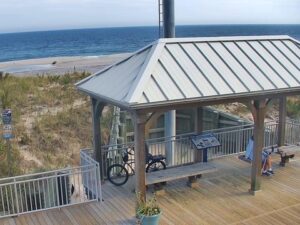
Seaside Heights, New Jersey
Seaside Heights, Barnegat Peninsula, New Jersey, USA
 13.9°C / 57°F
 11:56
11:56 11:56:53
 14.4°C / 57.9°F
 Few Clouds
 67%
67% 21 km/h / 13 mph
 07:16
07:16 18:09
18:09Loading forecast…
Seaside Heights, Barnegat Peninsula, New Jersey, USA
13.9°C / 57°F
11:56
Duke Farms, Dukes Parkway West, Hillsborough Township, NJ, USA
14.3°C / 57.7°F
11:56
Barnegat Light, Long Beach Island, New Jersey, USA
14.1°C / 57.4°F
11:56


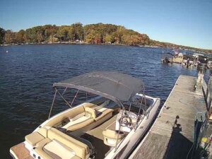
Lake Hopatcong, Jefferson Township, New Jersey, USA
11.2°C / 52.2°F
11:56
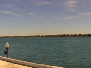
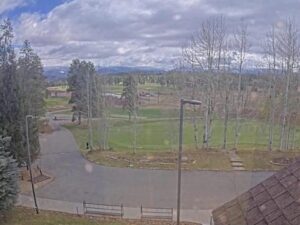
Pole Creek Golf Club, Grand County, Colorado, USA
5.8°C / 42.4°F
09:56

Amherst, Du Bois Library, Massachusetts, USA
11.3°C / 52.3°F
11:56
Aquinnah, Martha's Vineyard, Massachusetts, USA
11.3°C / 52.3°F
11:56

Hyland Hills Ski Area, Chalet Road, Bloomington, Minnesota, USA
19°C / 66.2°F
10:56
The Sea Isle City Webcam looks south along the beach from the Spinnaker, a nine-story oceanfront condominium on the Promenade in Sea Isle City, New Jersey. A wide strip of sand runs off toward the horizon, with the surf breaking on the left, fenced dunes and beach grass in the middle, and the paved Promenade with its lamp posts along the right edge of the frame. A gazebo with a blue roof stands out on the dunes a short way down the walk. On a quiet autumn afternoon the sand holds only a few walkers, beach chairs and pop-up canopies, while the sun lays a sheet of glare across the water. Two more cameras from the same operator sit in the tabs: a wide skyline view from the Spinnaker and a street-level flood cam at 40th Street and Central Avenue.
Sea Isle City covers most of Ludlam Island, a barrier island in Cape May County that it shares with Strathmere, part of Upper Township, to the north. Townsends Inlet marks the southern end of the island, with Avalon across the water. The city takes in 7.13 square kilometers (2.75 square miles), of which 5.71 square kilometers (2.20 square miles) is land, and sits at an elevation of about 2.1 meters (7 feet). The 2020 census counted 2,104 residents.
Charles K. Landis, the developer who had already founded Vineland, bought Ludlam Island in 1880 and founded Sea Isle City in 1882. The town was incorporated as a borough on May 22, 1882, and reincorporated as a city on April 30, 1907. One of its first hotels, the Excursion House, built by Landis’s company in 1882, became the social center of the young resort, and Excursion Park on the Promenade shares its name.
The Spinnaker is a twin-tower complex at 3500 to 3700 Boardwalk, toward the northern end of the 2.4 kilometer (1.5 mile) Promenade, which runs from 29th Street to 57th Street. Sea Isle Investors Ltd. conceived it in 1972, Charles Englehart of Oxon Hill, Maryland, designed it, and the Joseph Fabi Company of Atlantic City built it, starting with the South Tower that year. Nearly all of its roughly 190 units look out over the Atlantic. The Sea Isle City Webcam and its skyline tab are both mounted on the building. The skyline view is a fisheye with the beach on the left, the rooftops of the oceanfront blocks, a long straight street heading down the island and a blue water tower above the town. The flood cam is not on the Spinnaker at all. It watches the corner of 40th Street and Central Avenue a few blocks back from the beach, with painted crosswalks, utility poles, a low brick building and parked cars.
Sea Isle City has a humid subtropical climate, tempered by the ocean. July averages highs of 28.7 C (83.7 F) and lows of 19.8 C (67.7 F), and the ocean reaches about 23 C (73 F) that month, so the beach and Promenade are typically at their busiest on camera in July and August. January is cold, with average highs of 5.7 C (42.2 F), lows of -3.2 C (26.2 F) and water near 3 C (37 F). Spring and autumn sit between those numbers.
The roughest weather comes from the sea. The Atlantic hurricane season runs from June to November, and nor’easters can batter the coast through the colder months. The Ash Wednesday Storm of March 6, 1962, a nor’easter rated a 100-year storm, damaged or destroyed almost every beachfront home and property in town. That history explains the flood cam: when a storm or an unusually high tide pushes water into the streets, the corner of 40th and Central is where the operator points a camera to show it.
The Promenade is the obvious place to start, a paved walk popular with walkers, runners and cyclists. Excursion Park has a band shell that hosts free summer events such as concerts, a dance party and a Movie Under the Stars night, with a gazebo and seating perched on the Promenade above it. The Sea Isle City Historical Museum keeps artifacts, documents and archives on the town’s past. At the south end of the island, Townsends Inlet Waterfront Park draws anglers, birders and photographers to its inlet views, and its pavilion is a favorite backdrop for wedding photos.
Corson’s Inlet State Park, beside the inlet just south of Ocean City, protects 138 hectares (341 acres) of undeveloped dunes. It was set aside in 1969, and piping plovers, least terns and black skimmers nest there. Anglers work the inlet for bluefish, kingfish, striped bass and weakfish, and the Russ Chatin Bridge carries Ocean Drive across Corson’s Inlet. Farther south, past Avalon, the Wetlands Institute in Stone Harbor was founded in 1969 and sits within a protected area of about 2,428 hectares (6,000 acres).
These cams cover the next stretch of the Jersey Shore and one more boardwalk town down the coast.
Sea Isle City is in Cape May County, New Jersey, on Ludlam Island on the Jersey Shore. Strathmere shares the island to the north, Ocean City lies beyond Corson’s Inlet, and Townsends Inlet separates the city from Avalon to the south.
The main beach cam looks south from the Spinnaker over the sand, the surf, fenced dunes, a blue-roofed gazebo and the Promenade below the building. The skyline tab is a wide fisheye view over the beach and the rooftops of town, and the flood cam tab shows the corner of 40th Street and Central Avenue.
Summers are warm and humid, with July highs around 28.7 C (83.7 F) and the ocean near 23 C (73 F). January averages 5.7 C (42.2 F) by day and -3.2 C (26.2 F) at night, with water around 3 C (37 F). Nor’easters and tropical storms bring the roughest weather.
The Spinnaker is a nine-story twin-tower condominium at 3500 to 3700 Boardwalk, directly on the Promenade toward its northern end. Both the beach and skyline cams look out from it.
The Promenade runs 2.4 kilometers (1.5 miles) along the beachfront, from 29th Street to 57th Street, with Excursion Park along the way.
It is a street-level camera at the intersection of 40th Street and Central Avenue, a few blocks back from the beach. During a coastal storm or a very high tide it is the tab to check for water in the streets.
Charles K. Landis, who had already founded Vineland, bought Ludlam Island in 1880 and founded Sea Isle City in 1882.
Source: SeeTheView (seethisview)
The best new live webcams and site features, once a week.
By subscribing you agree to receive our weekly email. Unsubscribe any time.
 13.1°C / 55.6°F