Live

 02:43:43
 13.1°C / 55.6°F
 Clear Sky
 62%
62% 11 km/h / 7 mph
 06:51
06:51 18:00
18:00Loading forecast…


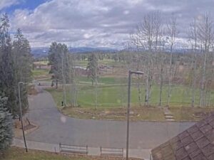
Pole Creek Golf Club, Grand County, Colorado, USA
 7.1°C / 44.8°F
01:43
7.1°C / 44.8°F
01:43
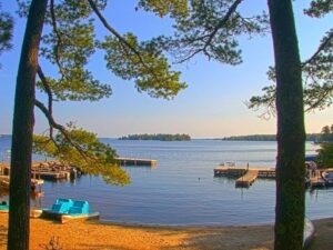
Rainy Lake, International Falls, Minnesota, USA
12.1°C / 53.8°F
02:43
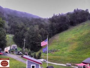
Mad River Glen Cooperative, Schuss Pass, Waitsfield, Vermont, USA
1.8°C / 35.2°F
03:43


Hyland Hills Ski Area, Chalet Road, Bloomington, Minnesota, USA
15.8°C / 60.4°F
02:43Planes on the ground and in the air within about 22 km (14 miles) of the airport, updated every 10 seconds. Tap a plane or a flight in the list for its details. Altitudes are above sea level. Positions come from volunteer ADS-B receivers, so some airports show few or no planes on the ground.
The Auburn Airport Webcam looks across the airfield at Auburn University Regional Airport, with the control tower standing on the left of the frame and the runway running behind it. Ground equipment and site trailers sit at the base of the tower, a sign that this corner of the field is still being worked on. Past the pavement the picture is mostly grass, pine woods and sky, which is what most of Lee County looks like from the air. The field is busy for its size, and light single engine aircraft from the university’s own training fleet account for most of what moves through the shot.
Auburn University Regional Airport, KAUO to pilots, sits about 3.7 kilometers (2.3 miles) east of downtown Auburn in Lee County, Alabama, at an elevation of 237 meters (777 feet). The university owns the field, which is unusual: a public use airport of this size normally belongs to a city or a county. It serves general aviation rather than scheduled airlines.
Two runways cross here. The main one, 18/36, is 1,604 meters (5,264 feet) long and 30 meters (100 feet) wide, and it reached that size in January 2002 when a 406 meter (1,332 foot) extension opened and the pavement was widened from 23 meters (75 feet). The crossing runway, 11/29, measures 1,219 meters (4,000 feet) by 23 meters (75 feet). In 2021 the airport recorded 110,422 aircraft operations and 119 based aircraft, 93 of them single engine, 22 multi engine and four jets. That traffic count is high for a field this size, and training circuits are the reason.
The tower is the newest thing about the place. Until August 2024 this was a non towered airport, where pilots announced their own positions on a shared frequency. A control tower building put up that month turned it into a controlled field during published hours, currently 7:00 am to 9:00 pm on weekdays and 8:00 am to 5:00 pm at weekends, Central time. Auburn University’s Department of Aviation is based here, flying roughly 35 Cessna 172s for pilot training out of the Delta Air Lines Aviation Education Building, which opened in 2018.
Lee County has a humid subtropical climate, and the flying year is shaped by heat and thunderstorms. July averages 33 C (91 F) by day and 21 C (70 F) at night, and on an afternoon like that a loaded Cessna 172 climbs noticeably slower than the book suggests. Storms build quickly through the afternoon, can shut the traffic pattern down for an hour, then clear as fast as they came.
Winter days average 13 C (56 F) with nights near 1 C (34 F), cool and dense and good for flying, though morning fog over the low ground is common when a cold night follows a wet day. Rain totals 1,340 millimeters (52.6 inches) a year and is spread through the seasons rather than packed into one of them. Spring and fall bring the steadiest air and the clearest frames, and the hardwoods behind the runway turn through October before the pines are the only green left.
The field is a short drive from the Auburn University campus, where the Donald E. Davis Arboretum grows about 150 native tree species and the Jule Collins Smith Museum of Fine Art holds the university’s art collection. Jordan-Hare Stadium, which opened on November 9, 1939 and holds more than 88,000 people, is on the same side of town and is in the middle of a $323 million expansion of its north end.
For open ground, Chewacla State Park covers 283 hectares (700 acres) in the Appalachian foothills south of the city, with a lake, a waterfall and mountain biking trails. Kiesel Park adds 81 hectares (200 acres) of walking paths closer in, and the Louise Kreher Forest Ecology Preserve keeps managed woodland open to visitors. Toomer’s Corner, on College Street at the edge of campus, is where Auburn fans roll the oak trees with paper after a win, a tradition traced to the 1950s.
Three more cameras for anyone who watches airfields and small town traffic:
Auburn University Regional Airport lies about 3.7 kilometers (2.3 miles) east of downtown Auburn, in Lee County in east Alabama, at an elevation of 237 meters (777 feet). Its ICAO code is KAUO.
The control tower fills the left of the frame, with the runway, grass and treeline behind it and ground equipment on the worked ground at its base. Aircraft appear as they taxi and take the runway, most of them light single engine trainers.
Yes, since August 2024, when a tower building went up and the field moved from non towered operations to controlled operations during published hours. Those hours are currently 7:00 am to 9:00 pm Monday to Friday and 8:00 am to 5:00 pm at weekends, Central time. Outside them, pilots go back to announcing their own positions.
Runway 18/36 is 1,604 meters (5,264 feet) long and 30 meters (100 feet) wide. The crossing runway, 11/29, is 1,219 meters (4,000 feet) by 23 meters (75 feet). The main runway was extended by 406 meters (1,332 feet) and widened in January 2002.
Often, though it depends on which runway is in use and on the camera’s angle, since the tower sits between the lens and part of the field. Weekday daylight hours during term time are the busiest, when the university’s training flights are working the pattern.
The university’s Department of Aviation is based at the airport and operates roughly 35 Cessna 172s for pilot training. It works out of the Delta Air Lines Aviation Education Building, which opened on the field in 2018.
The airport logged 110,422 aircraft operations in 2021 and had 119 based aircraft that year, 93 single engine, 22 multi engine and four jets. Flight training accounts for much of that movement.
Humid subtropical, with hot summers and mild winters. July averages 33 C (91 F) by day and 21 C (70 F) at night, January averages 13 C (56 F) and 1 C (34 F), and rainfall runs to about 1,340 millimeters (52.6 inches) a year.
The best new live webcams and site features, once a week.
By subscribing you agree to receive our weekly email. Unsubscribe any time.
 9.6°C / 49.3°F
 14°C / 57.2°F