Live
Sunlight Mountain, Glenwood Springs, Colorado
Sunlight Mountain, Garfield County, Colorado, USA
 6.9°C / 44.4°F
 15:31
15:31 15:31:29
 12.7°C / 54.9°FClear Sky
 48%
48% 24 km/h / 15 mph
 07:11
07:11 18:21
18:21Loading forecast…
Sunlight Mountain, Garfield County, Colorado, USA
6.9°C / 44.4°F
15:31

Glacier Club, San Juan Mountains, Colorado, USA
13.6°C / 56.5°F
15:31
Pole Creek Golf Club, Grand County, Colorado, USA
7.8°C / 46°F
15:31
Grand Avenue, Glenwood Springs, Colorado, USA
 9.3°C / 48.7°F
15:31
9.3°C / 48.7°F
15:31
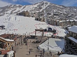
Steamboat Ski Resort, Steamboat Springs, Colorado, USA
5°C / 41°F
15:31

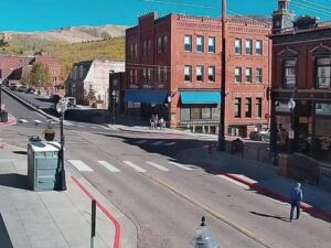

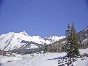
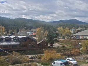
The Boulder Webcam looks south from high on the West End Plaza building at 1035 Pearl Street, over the rooftops and terraces of downtown Boulder, Colorado, to the Flatirons. The tilted sandstone slabs climb the east face of Green Mountain above a belt of trees and the open grass of Chautauqua Park. The camera does not hold one view. It pans on a loop, starting with that classic Flatirons scene, then swinging west to Flagstaff Mountain and northwest to Mount Sanitas, dropping onto the street life of West Pearl and finally turning east toward the University of Colorado. The slabs face east, so they catch the morning sun, and a winter storm can leave them striped with snow. A second tab carries the original Boulder Flatiron Cam from Louisville, with a wider view of the range.
Boulder sits where the plains meet the foothills of the Front Range, at about 1,655 meters (5,430 feet) above sea level. Founded in late 1858 and incorporated in 1871, the city counted 108,250 residents in the 2020 census. The University of Colorado has shaped it since 1861, when the Colorado General Assembly chose Boulder as its home. The university opened in 1877, and its campus is the last stop on the camera’s pan.
The Flatirons are the reason the camera points where it does. Each is a slab of Fountain Formation sandstone, laid down roughly 290 million years ago and tipped up on edge when the mountains rose between 80 and 35 million years ago. They line the eastern slope of Green Mountain, whose summit reaches about 2,484 meters (8,150 feet), some 830 meters (2,720 feet) above downtown. Panning right, the camera passes Flagstaff Mountain at 2,128 meters (6,983 feet), then Mount Sanitas at 2,092 meters (6,863 feet).
The grass at the foot of the Flatirons belongs to Chautauqua Park. The Colorado Chautauqua opened there in 1898 as a summer school for Texas teachers, and it is the only Chautauqua west of the Mississippi River that has run without a break since the movement’s heyday in the 1920s. The 16-hectare (40-acre) site became a National Historic Landmark in 2006. Closer to the camera, the central blocks of Pearl Street were rebuilt as the pedestrian Pearl Street Mall between June 1976 and August 1977, and the camera stands in the West End, just west of it.
The second tab on the Boulder Webcam shows where it all began. A resident with a good view started the original Boulder Flatiron Cam on Davidson Mesa in Louisville in 2009, roughly 10 kilometers (6 miles) east-southeast of Pearl Street. It looks west over a white rail fence and houses among the trees to the whole line of the Flatirons and South Boulder, with the Indian Peaks behind. The operator added a camera in Superior in 2012 and the downtown Boulder one in 2014.
Boulder has four distinct seasons, and the Flatirons show every one of them. July is the warmest month, with average highs of 31 C (88 F) and lows of 14 C (57 F) in the NOAA normals for the city. January averages 8 C (47 F) by day and -6 C (22 F) at night. Chinook winds bring rapid warm-ups through the winter months, so the snow that whitens the slabs after a storm can be gone within days.
Spring turns the Chautauqua meadow green again and fills in the trees between downtown and the foothills. By mid-October, yellow leaves show through the green canopy below the mountains, and the Indian Peaks on the Louisville tab can already carry snow. Because the main view faces south, the low winter sun sits close to the frame around midday and can wash out the slabs. Morning light, falling on the rock from the east, tends to give the sharpest picture of the Flatirons.
Chautauqua Park is the main gateway to the Flatirons. The Royal Arch Trail leaves from there, a short but steep climb among the slabs that ends at a natural rock arch with wide views back over the city. Mount Sanitas, the northwest stop on the pan, is reached on a hike of about 4.5 kilometers (2.8 miles) that starts at the west end of Mapleton Avenue. Flagstaff Mountain, between the two, is part of Boulder Mountain Park.
In town, the Pearl Street Mall starts just east of the camera. The Boulder Dushanbe Teahouse was a gift from Boulder’s sister city, Dushanbe in Tajikistan. Craftsmen there built it by hand without power tools, then took it apart and shipped it to Boulder, where it was reassembled and opened in 1998. East of the city, Davidson Mesa Open Space, home of the original camera, is the largest open space property in Louisville at about 107 hectares (264 acres), with trails across the mesa.
For more of the Colorado Front Range and big mountain walls, these cameras are worth a look next.
Boulder is in Boulder County in northern Colorado, at the foot of the Front Range about 40 kilometers (25 miles) northwest of downtown Denver. The camera stands on West Pearl Street in the city center.
The camera pans on a loop: the Flatirons and Chautauqua Park to the south, Flagstaff Mountain, Mount Sanitas to the northwest, the street scene on West Pearl, and the University of Colorado campus to the east. The Louisville tab looks west across the whole range.
Summers are warm, with July highs around 31 C (88 F). Winter days are mild, with January highs near 8 C (47 F) and nights around -6 C (22 F), and chinook winds can bring sudden warm spells.
Fountain Formation sandstone, roughly 290 million years old, tilted up on edge as the mountains rose between 80 and 35 million years ago. The slabs run along the eastern slope of Green Mountain.
Green Mountain rises to about 2,484 meters (8,150 feet), around 830 meters (2,720 feet) above downtown Boulder. The Flatirons climb its eastern face, the side the camera sees.
At Chautauqua Park, the grassy slope below the Flatirons in the camera’s main view. The trail is short but steep and ends at a natural rock arch among the slabs.
On Davidson Mesa in Louisville, roughly 10 kilometers (6 miles) east-southeast of downtown Boulder. It started in 2009 and appears on this page’s Louisville tab, looking west to the Flatirons and the Indian Peaks.
Source: Boulder Flatiron Cam
The best new live webcams and site features, once a week.
By subscribing you agree to receive our weekly email. Unsubscribe any time.
 -5.9°C / 21.4°F
 3.3°C / 37.9°F