Live

 18:38:06
 14.3°C / 57.7°F
 Few Clouds
 88%
88% 9 km/h / 6 mph
 07:34
07:34 18:28
18:28Loading forecast…

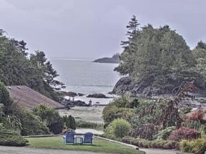
East Beach, White Rock Promenade, White Rock, British Columbia, Canada
 15.7°C / 60.3°F
18:38
15.7°C / 60.3°F
18:38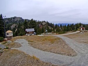


Revelstoke Railway Museum, Track Street West, Revelstoke, BC, Canada
16.8°C / 62.2°F
18:38
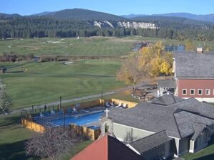
Cranbrook, East Kootenay, British Columbia, Canada
 15.8°C / 60.4°F
19:38
15.8°C / 60.4°F
19:38
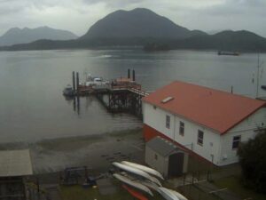


Apex Mountain Resort, Strayhorse Road, Hedley, BC, Canada
9.4°C / 48.9°F
18:38

Whistler Olympic Plaza, Blackcomb Way, Whistler, BC, Canada
 12.8°C / 55°F
18:38
12.8°C / 55°F
18:38The Nanaimo Harbour Webcam streams from the roof of the Port Theatre in downtown Nanaimo, looking east across the boat basin toward the forested islands that close off the far side. Marina fingers and fishing boats fill the near water, the white rail of the harbourfront walkway curves along the bottom of the frame, and the channel beyond the docks opens out to the Strait of Georgia. Traffic is what keeps the view worth leaving open: floatplanes taxiing out past the fuel float, the Hullo catamaran running for Vancouver, tugs shifting barges, and small boats threading between the moorage rows. Weather moves through quickly here, so the same frame can be flat grey at breakfast and hard blue by noon.
Nanaimo Harbour, also called the Port of Nanaimo, is a natural harbour on the east coast of Vancouver Island. The city of roughly 99,900 people runs along its western shore, which is how Nanaimo earned its nickname of the Harbour City. Newcastle, Protection and Gabriola Islands, together with Duke Point to the south, form the eastern edge and leave the basin sheltered in almost any wind. The Nanaimo Port Authority manages the whole of it, from the inner harbour in frame out to Departure Bay and the Nanaimo River estuary.
The camera’s own perch is part of the history. The Port Theatre stands at the foot of downtown on Front Street, and a short walk along the same street brings you to the Bastion, an octagonal wooden blockhouse the Hudson’s Bay Company built between 1853 and 1855 to guard its coal workings. It is the only freestanding tower the company ever built that still stands, and the Nanaimo Museum opens it to visitors through the summer.
Long before the coal, this was Snuneymuxw territory, and it still is. The Snuneymuxw First Nation has lived around this harbour for more than 5,000 years, speaks the Hul’q’umi’num dialect of a Coast Salish language, and today operates Saysutshun, the marine park on Newcastle Island across the water. Protection Island, the other land in that direction, holds about 350 year-round residents, has no paved roads, and is reached by a small foot ferry from Maffeo Sutton Park that ties up at the Dinghy Dock Pub, the only floating pub in Canada.
Nanaimo has one of the mildest climates in Canada, and the camera shows it. The city’s own weather station, about 5 kilometers (3 miles) from the harbour, records average daily highs of 5.4 C (42 F) in January against overnight lows of 0.9 C (34 F), so the basin does not freeze and boats stay in the water through the winter. Summer is warm rather than hot. July and August average highs of 23.4 C (74 F) and 23.7 C (75 F), with lows near 15 C (59 F).
Rain is the real seasonal story, and nearly all of it falls in winter. December and January each bring close to 195 mm (7.7 inches), while July averages about 21 mm (0.8 inches). From November through February the camera often looks out on flat grey water under low cloud, with the islands reduced to a dark outline and the dock lights on well before dinner. Summer runs the other way: long dry spells and glassy water on calm mornings. Spring and fall are the changeable stretches, with April highs near 9.9 C (50 F) rising to 16.6 C (62 F) in May, and October settling back to 13.3 C (56 F).
The harbourfront walkway begins below the camera and runs along the water to Maffeo Sutton Park, where the foot ferry leaves for Protection Island. From the same downtown docks a 20-minute ferry crosses to Gabriola Island, 5 kilometers (3.1 miles) east, home to about 4,500 people and known for its working artists and sandstone shoreline.
Inland, Mount Benson rises 1,023 meters (3,356 feet) some 9 kilometers (5.6 miles) west of downtown and is the local hiking objective, with views over the Strait of Georgia to the mainland Coast Mountains on a clear day. Divers come for the artificial reefs offshore: the destroyer escort HMCS Saskatchewan was scuttled off Nanaimo on 14 June 1997, and the former repair ship HMCS Cape Breton followed on 20 October 2001, settling upright near Snake Island at about 44 meters (145 feet). The city also gave its name to the Nanaimo bar, the three-layer square of crumb base, custard icing and chocolate ganache that first appeared under that name in a 1953 cookbook.
More working waterfronts, on this coast and the other one.
Nanaimo Harbour is on the east coast of Vancouver Island in British Columbia, Canada, about 92 kilometers (57 miles) northwest of Victoria in a straight line. Canadian usage spells it Nanaimo Harbour, and the American spelling, Nanaimo Harbor, is common online. The camera sits on the Port Theatre in the downtown core, on the western shore of the basin.
The inner harbour, from the marina docks and the harbourfront walkway in the foreground out to the fuel float and floatplane dock. Across the water are the forested slopes of Newcastle and Protection Islands, with the channel between them opening toward the Strait of Georgia. Working boats, tugs and passenger ferries move through at most hours.
Mild and wet in winter, warm and dry in summer. Almost ten times as much rain falls in December as in July, which is why the clearest views on the camera come between June and September.
Hullo runs a passenger catamaran between downtown Nanaimo and downtown Vancouver, up to 14 sailings a day, taking about 75 minutes and carrying 354 seated passengers. Floatplanes leave from the harbour itself, off the float in frame. BC Ferries carries vehicles from Departure Bay and Duke Point.
Yes. Saysutshun, the marine provincial park on Newcastle Island, is run by the Snuneymuxw First Nation and reached by a short passenger ferry from downtown. The island has beaches, camping and a perimeter trail, and no cars.
The Great International World Championship Bathtub Race has run since 1967 and is the anchor of the Nanaimo Marine Festival on the last weekend of July. The course starts and finishes in Nanaimo Harbour and covers about 58 kilometers (36 miles) out into the Strait of Georgia, so the harbour in frame is both the start line and the finish.
The stream runs continuously, though what is worth watching depends on the light. Nanaimo sits at about 49 degrees north, so summer evenings stay usable well past 21:00 local time while midwinter darkness arrives in the late afternoon. Stream health and weather can also interrupt the feed.
Source: CHEK Media
The best new live webcams and site features, once a week.
By subscribing you agree to receive our weekly email. Unsubscribe any time.