Live
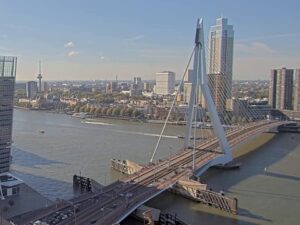
Erasmusbrug, Rotterdam, Netherlands
Erasmusbrug, Nieuwe Maas, Rotterdam, Netherlands
 12.2°C / 54°F
 20:09
 20:09:18
 12.1°C / 53.8°FBroken Clouds
 94%
 26 km/h / 16 mph
 07:27
 17:13
Loading forecast…
Erasmusbrug, Nieuwe Maas, Rotterdam, Netherlands
12.2°C / 54°F
20:09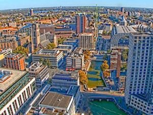
Markthal, Laurenskwartier, Rotterdam, Netherlands
12.2°C / 54°F
20:09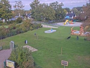
Marveld Recreatie, Elshofweg, Groenlo, Netherlands
 9.3°C / 48.7°F
20:09


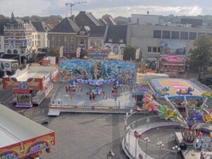

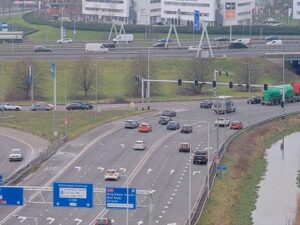
Kralingseplein, Kralingen, Rotterdam, Netherlands
12.2°C / 54°F
20:09

The Ameland Webcam looks along the ferry dam at Nes, the terminal on the south shore of the Dutch Wadden island of Ameland, where Wagenborg’s car ferries tie up after the crossing from Holwerd. The camera sits above the landward end of the loading lane and points out toward the berth, so the ferry’s bridge, the two ramp towers with their yellow wheels and the raised passenger gangway fill the middle and right of the frame. To the left, the grey water of the Wadden Sea runs out to a low strip of land on the horizon. The scene follows the timetable. A ferry pulls in, the ramp comes down, and cars, delivery trucks, cyclists and foot passengers come off before the next load drives on. Between sailings the berth can stand empty, and the tide, the light and the odd workboat take over.
Ameland is one of the West Frisian Islands off the north coast of the Netherlands, in the province of Friesland. The municipality covers 268.50 square kilometers (103.67 square miles), but only 59.11 square kilometers (22.82 square miles) of that is land. About 3,800 people live on the island, in four villages that run from west to east: Hollum, Ballum, Nes and Buren. Nes is the ferry village, with 1,295 residents at the start of 2023, and its old center is a protected townscape with the De Phenix corn mill and several historic churches.
Wagenborg Passagiersdiensten runs the car ferry between Nes and Holwerd on the mainland. The company puts the crossing at about 50 minutes, and a 2016 study of the route measured an average of 51 minutes at sea, plus about 11 minutes to load and unload at each end. Two ships share the line. MS Sier has worked it since early 1995. She is 73.20 meters (240 feet) long and 15.90 meters (52 feet) wide, and carries up to 1,200 passengers and 72 cars. MS Oerd joined the route in 2003. Both ships share their names with Sier and Oerd, two former villages on Ameland that no longer exist.
The sea sets the weather here, so winters are damp and mild rather than hard. Over the last 30 years, January has averaged highs of 5°C (42°F) and lows of 2°C (36°F), with February much the same, and no month averages a low below 2°C (36°F). Winter days are short at 53 degrees north. On grey days the frame turns to shades of slate, with the water and sky meeting at the horizon, and after dark the floodlights on the dam keep the loading lane lit. Spring warms slowly: April averages 12°C (53°F) by day and 6°C (43°F) at night, and at about 45 mm (1.8 inches) it is the driest month of the year.
July and August are the warmest months, with highs around 20°C (68°F) and lows near 15°C (59°F). They are also the wettest, at about 89 mm (3.5 inches) each, much of it falling in showers. Summer is high season on the ferries, and the lane is typically busiest with holiday cars, bicycles and trailers. Autumn stays mild, with October averaging 14°C (57°F) by day and 10°C (49°F) at night, but it brings 86 mm (3.4 inches) of rain, close to the summer peak.
Nes is the first village off the boat. Natuurcentrum Ameland, the island’s nature center, is in Nes and has its own lookout tower. The protected village core, including the row of listed houses on Burgemeester Waldastraat, and the De Phenix mill are easy to explore on foot. Nes also has the Het Leyegat marina, the Nesser Bos woodland and the De Vleijen recreation area.
The island is made for cycling, with about 100 kilometers (62 miles) of cycle paths and 27 kilometers (16.8 miles) of sandy beach along the North Sea shore. At the western end, the Bornrif lighthouse in Hollum stands 55.3 meters (181 feet) tall. It was finished in 1881 from cast-iron sections, and since 2005 visitors have been able to climb its 236 steps. Museum Sorgdrager is also in Hollum. The island’s horse-drawn lifeboat launch, once a real rescue method, has been staged as a demonstration for visitors since 1988.
More island, coast and ferry views to try next:
The view runs along the loading lane of the Nes ferry dam to the berth, where a Wagenborg ferry lies at the ramp. The ramp towers, a raised passenger gangway, lamp posts and the stone slope of the dam fill the right side, and the Wadden Sea fills the left out to the horizon. Cars, trucks, cyclists and foot passengers come and go with each sailing.
Ameland is a West Frisian island off the north coast of the Netherlands, in the province of Friesland. The ferry terminal is at Nes on the south shore, facing the Wadden Sea, and the car ferry to Holwerd on the mainland takes about 50 minutes.
No. The camera is at the ferry terminal on the Wadden Sea side of the island. Ameland’s 27 kilometers (16.8 miles) of sandy beach face the North Sea on the opposite, northern shore, and none of it is in view.
Wagenborg gives about 50 minutes for the car ferry between Holwerd and Nes, and about 20 minutes for its fast passenger boat. A 2016 study of the route measured an average of 51 minutes at sea. Check the current timetable with Wagenborg before you travel.
The car ferries MS Sier and MS Oerd. Sier, in service since 1995, is 73.20 meters (240 feet) long and takes up to 1,200 passengers and 72 cars. Oerd has sailed the route since 2003. Whichever ship is in port ties up at the ramp in the middle of the frame.
Mild and maritime. Winter highs average 5 to 7°C (41 to 44°F) and summer highs about 20°C (68°F). Rain falls all year and is heaviest in late summer and autumn. The webcam is a quick way to check the wind on the water and the cloud before a crossing.
Not this one. The camera is in Nes, the ferry village on the south shore. Hollum is the westernmost of the four villages and home to the Bornrif lighthouse, and Buren is the easternmost.
Sunneklaas is Ameland’s own version of the Sinterklaas festival, held around 5 December. It is a celebration for islanders, and visitors are expected to stay away from the island around that date.
Source: Wagenborg Passagiersdiensten
The best new live webcams and site features, once a week.
By subscribing you agree to receive our weekly email. Unsubscribe any time.