Live
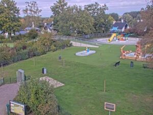
Marveld Recreatie, Groenlo, Netherlands
Marveld Recreatie, Elshofweg, Groenlo, Netherlands
 10.1°C / 50.2°F
 20:17
 20:17:27
 12.1°C / 53.8°FOvercast Clouds
 74%
 19 km/h / 12 mph
 08:07
 18:30
Loading forecast…
Marveld Recreatie, Elshofweg, Groenlo, Netherlands
10.1°C / 50.2°F
20:17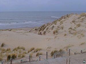
Strandpaviljoen Paal 9, Hoornderslag, Den Hoorn, Netherlands
 11°C / 51.8°F
20:17
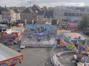

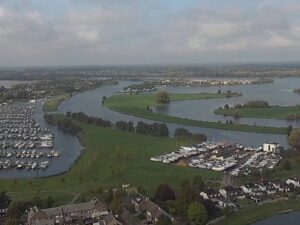
Kralingseplein, Kralingen, Rotterdam, Netherlands
11.9°C / 53.4°F
20:17
Erasmusbrug, Nieuwe Maas, Rotterdam, Netherlands
11.9°C / 53.4°F
20:17


Markthal, Laurenskwartier, Rotterdam, Netherlands
11.9°C / 53.4°F
20:17
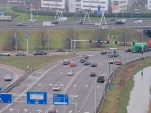
The Groningen Ring Road Webcam looks down on Vrijheidsplein, the stacked interchange where the southern ring road of Groningen meets the western ring, about 2.3 kilometers (1.4 miles) southwest of the Grote Markt. A broad viaduct carries the through lanes diagonally across the frame, curving ramps loop beneath it, and a lower roadway drops into an underpass at the bottom right, with a pond and office blocks around the edges. Two more cameras from the same operator sit in the tabs: one looks straight along the rebuilt southern ring road, and the other covers Europaplein at its eastern end. Queues build on the ramps in the morning and late afternoon rush, the trees on the embankments turn yellow in October, and at night the view narrows to streetlights and headlights.
The ring road around Groningen is 20 kilometers (12.4 miles) long and built to expressway standard the whole way round. It is made up of three numbered roads: the N370 on the north and west, the N46 on the east, and Rijksweg 7 on the south. That southern side, officially named Weg der Verenigde Naties, was built between 1962 and 1971 and was the first part of the ring to be finished. It carries the A7 from Drachten toward Hoogezand and Winschoten, and at Julianaplein it meets the A28 from Assen and Zwolle.
Over the decades the southern ring ran out of capacity. In 2016 work began on lowering its main carriageway into a sunken section between Julianaplein and Europaplein, covered in three places by decks, with parallel roads at street level for local traffic. Julianaplein and the junction with the western ring were rebuilt so that no traffic crosses on the level, and the renewed southern ring road opened on 1 September 2024. The second tab looks along those lanes toward a covered stretch in the distance. That camera films through a window, so raindrops on the glass can soften the picture during showers.
Vrijheidsplein, exit 36 on the N7, began as a roundabout on the Laan van de Vrijheid, with only the N7 crossing above it on a viaduct. Between 2019 and 2024 it was rebuilt as a compact turbine interchange with every connection on its own level, and the N7 was widened to three through lanes each way. The new exit from the A7 to the western ring opened on 7 July 2022, and the full link through the sunken underpass followed on 6 November 2023. The Gasunie building, opened by Queen Beatrix in April 1994, marks the junction. Europaplein, about 2.6 kilometers (1.6 miles) to the east, also started as a roundabout and became a grade-separated junction in 1986, where the southern ring meets the eastern ring.
Groningen has a temperate oceanic climate, a little colder in winter than the cities of the western Netherlands because of its northeasterly position, with prevailing winds off the North Sea. At Groningen Airport Eelde, the 1991 to 2020 averages give January highs of 5 C (41 F) and lows just below freezing at -1 C (30 F). Snow falls on about eight days in January but rarely lies for long, so the verges can be white at dawn and the lanes back to wet asphalt by lunchtime. April warms to highs of about 14 C (58 F).
July is the warmest month, with highs near 23 C (73 F) and lows of 12 C (54 F), and also the wettest, at 85 millimeters (3.3 inches). The yearly total of about 805 millimeters (31.7 inches) is spread across every month, which is why wet road surfaces and spray behind trucks are such a common sight here. October highs drop back to about 14 C (58 F), with lows around 6 C (43 F). At 53 degrees north, daylight runs from about seven and a half hours in late December to nearly 17 hours in late June, so the evening rush happens in darkness for much of the winter.
The Stadspark, a park of about 140 hectares (346 acres) and a protected municipal monument, lies just west of Vrijheidsplein along the N7. MartiniPlaza, the theater and concert venue, is reached by a slip road built into the interchange itself. The city center is a short bike ride north, where the Martinitoren rises above the Grote Markt and the Forum Groningen, opened in 2019, has a rooftop terrace, a library and an art-house cinema under one roof.
At the eastern end of the southern ring, near the Europaplein camera, the Euroborg stadium has been the home of FC Groningen since January 2006 and seats 22,525, with Groningen Europapark railway station beside it. In the city center, the Groninger Museum occupies a futuristic, colorful building designed by Alessandro Mendini in 1994.
For more Dutch traffic, a highway rebuild in Texas and the main square of Groningen, try these cameras.
The main camera overlooks Vrijheidsplein on the southwest side of Groningen, the capital of Groningen province in the north of the Netherlands. The other two cameras sit farther east along the southern ring road, as far as Europaplein.
The main view shows the Vrijheidsplein interchange from above, with its viaduct, looping ramps and underpass. The tabs add a view along the rebuilt southern ring road and a wide view over Europaplein, with business parks on the horizon.
Mild and damp. January averages 5 C (41 F) by day and -1 C (30 F) at night, July reaches about 23 C (73 F), and around 805 millimeters (31.7 inches) of rain falls through the year.
On 1 September 2024, eight years after work on the sunken section began. Parts of the Vrijheidsplein interchange opened earlier, in July 2022 and November 2023.
The full ring is 20 kilometers (12.4 miles) long. The N370 forms its northern and western sides, the N46 its eastern side, and Rijksweg 7 its southern side.
It is exit 36 on the N7, where the southern ring road meets the western ring. It keeps the name of the roundabout that stood there before the 2019 to 2024 rebuild.
The road no longer had the capacity for the traffic using it. Lowering the main carriageway lets through traffic run below street level under three decks, while parallel roads at ground level handle local trips.
Source: Bouwwebcam.nl
The best new live webcams and site features, once a week.
By subscribing you agree to receive our weekly email. Unsubscribe any time.