Live
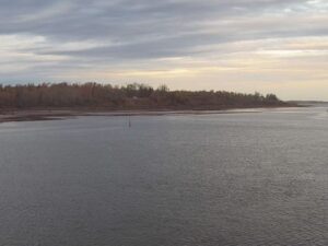
Pugwash Harbour, Pugwash, Canada
Pugwash, Cumberland County, Nova Scotia, Canada
 9.7°C / 49.5°F
 19:22
19:22 19:22:15
 11.6°C / 52.9°F
 Broken Clouds
 78%
78% 17 km/h / 11 mph
 07:41
07:41 18:27
18:27Loading forecast…
Pugwash, Cumberland County, Nova Scotia, Canada
9.7°C / 49.5°F
19:22


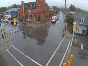

Steinbach South Airport, Hanover, Manitoba, Canada
 15.7°C / 60.3°F
17:22
15.7°C / 60.3°F
17:22
Revelstoke Railway Museum, Track Street West, Revelstoke, BC, Canada
13.5°C / 56.3°F
15:22

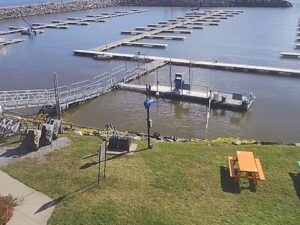



Val Marie, Grasslands National Park, Saskatchewan, Canada
 16.1°C / 61°F
16:22
16.1°C / 61°F
16:22The Lockeport Crescent Beach Webcam looks southeast from the Crescent Beach Centre in Lockeport, over a sweep of white sand on Nova Scotia’s South Shore. Beach grass and low shrubs on the dune fill the foreground, the sand runs wide and flat toward the surf, and a spruce-topped point with dark rocks closes the view on the right. At low tide the beach becomes a broad, wet flat streaked with shallow channels, and at high water the waves run up close to the dune line. This is the same stretch of coast that inspired the seascape on Canada’s 1954 series $50 banknote. Rolling lines of surf, passing showers and the shifting tide keep the picture moving even on days when nobody walks the sand.
Lockeport is a very small town. It covers just 2.32 square kilometers (0.90 square miles) on a low peninsula in Allendale Bay, rises no more than 3 meters (9.8 feet) above sea level, and had 476 residents in the 2021 census. The area was first known as the Ragged Islands. Two Massachusetts families led by Jonathan Locke and Josiah Churchill settled here in 1762 to be close to the fishing grounds, and the town was incorporated on February 26, 1907.
Crescent Beach is what ties Lockeport to the mainland. The beach is a natural causeway, a curve of sand roughly 1.5 kilometers (1 mile) long backed by a band of dunes held together by beach grass. The camera stands at 157 Locke Street, at the Crescent Beach Centre, which doubles as the visitor information centre and has exhibits on the town’s history, First Nations fishing methods and odd finds from the sea. The lens faces southeast with a 90 degree field of view, straight out toward the open Atlantic.
The beach’s best-known moment came in 1954, when a seascape based on a photograph of Crescent Beach was engraved by Warrell Alfred Hauk for the $50 note in the Canadian Landscape series. The engraved scene shows the shore on a stormy day, with waves rolling in much as they do on the camera after an autumn gale.
Lockeport shares the coastal climate of neighbouring Shelburne, where the average daily temperature sits around -3.7 C (25 F) in January. Winters are wet and cold rather than deeply frozen, with frequent snow and freezing rain, and Shelburne averages about 154 centimeters (61 inches) of snow a year. On the camera, winter often means a grey sea, snow on the dune grass and a beach scoured flat by storm surf. Spring warms slowly, with April averaging only about 5 C (41 F), because the cold Atlantic holds the coast back.
Summer is mild rather than hot, with a July daily average near 17.6 C (64 F), and that is the busiest time on the sand. October still averages around 9 C (48 F), and autumn gales or the remnants of late-season hurricanes can drive heavy swell onto the South Shore. Precipitation is steady year round at about 1,393 millimeters (55 inches), so fog and drizzle can soften the view in any month.
Crescent Beach itself is the main draw, with three public access points, the Crescent Beach Centre and plenty of room for beachcombing at low tide. In town, the Little School Museum occupies Lockeport’s first schoolhouse, built in 1845, and opens in summer with local artifacts on display. The Locke Homestead, tied to founder Jonathan Locke, overlooks the harbour and is listed on the Canadian Register of Historic Places. A walking trail with boardwalk sections loops through the dunes and salt marsh behind the beach.
Lockeport’s calendar is built around the sea. The Lockeport Sea Derby, a fishing competition running since 1992, draws both anglers and spectators, and the Harmony Bazaar Festival of Women and Song fills the town with music and workshops. July 1st celebrations and the annual Beach Bash round out the season. Lockeport sits between Liverpool and Shelburne, roughly two hours by road from Halifax, so it pairs well with a drive further down the coast to Baccaro Point, the southernmost tip of mainland Nova Scotia.
If you enjoy this stretch of coast, try these cameras next:
Crescent Beach is in Lockeport, a small town in Shelburne County on Nova Scotia’s South Shore, Canada. It lies between Liverpool and Shelburne, about two hours by road from Halifax.
The camera faces southeast over the dunes to the wide sand of Crescent Beach, the surf line and the open Atlantic, with a wooded, rocky point on the right side of the frame.
Lockeport has a mild coastal climate. Nearby Shelburne averages about -3.7 C (25 F) in January and 17.6 C (64 F) in July, with around 1,393 millimeters (55 inches) of precipitation a year.
Yes. A seascape based on a photograph of Crescent Beach, engraved by Warrell Alfred Hauk, appeared on the 1954 series $50 banknote.
The beach runs for about 1.5 kilometers (1 mile) and forms the causeway that connects the Lockeport peninsula to mainland Nova Scotia.
Yes, and July and August are the usual swimming months, when the air is warmest. The water is the open Atlantic, so it stays cool even in summer and the surf can be rough after a storm.
The camera is part of the Nova Scotia Webcams network, which streams live views from communities across the province.
Source: Nova Scotia Webcams
The best new live webcams and site features, once a week.
By subscribing you agree to receive our weekly email. Unsubscribe any time.
 9.7°C / 49.5°F
 11.8°C / 53.2°F