
Live

 08:41:20
 18.9°C / 66°F
 Clear Sky
 69%
69% 3 km/h / 2 mph
 06:33
06:33 17:42
17:42Loading forecast…


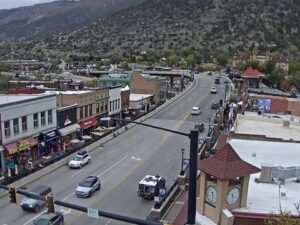
Grand Avenue, Glenwood Springs, Colorado, USA
 8.6°C / 47.5°F
09:41
8.6°C / 47.5°F
09:41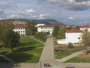
EOU Quad, La Grande, Union County, Oregon, USA
 6.3°C / 43.3°F
08:41
6.3°C / 43.3°F
08:41
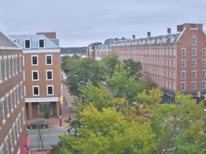
King Street, Old Town Alexandria, Virginia, USA
 14.9°C / 58.8°F
11:41
14.9°C / 58.8°F
11:41
Harry Reid International Airport, Paradise, Nevada, USA
12.4°C / 54.3°F
08:41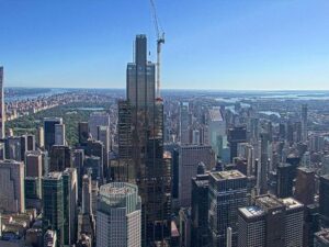
SUMMIT One Vanderbilt, East 42nd Street, New York, NY, USA
12.6°C / 54.7°F
11:41

Beech Mountain, Watauga County, NC, USA
10°C / 50°F
11:41

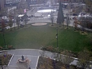
The Tucson Webcam looks southwest over downtown Tucson, Arizona, from a bell tower a few blocks east of the city center. Palms line the broad avenue that crosses the foreground, low brick and adobe buildings fill the middle distance, and the downtown office towers stand against a dark ridge of desert mountains on the right of the frame. This is a city view rather than a desert one, and much of the interest is in the light. The Sonoran Desert sky above the basin can shift from flat white glare at midday to a wall of thunderheads within an hour during the summer monsoon. Traffic on the avenue and the shadows crossing the rooftops keep the frame in motion, and the mountains change color as the sun drops behind them.
Tucson sits at 728 meters (2,388 feet) in a broad desert basin in Pima County, southern Arizona, and had 542,629 residents at the 2020 census, with 1,043,433 across the wider metropolitan area. Four ranges close off the valley: the Santa Catalina and Tortolita Mountains to the north, the Rincon Mountains east, the Santa Rita Mountains south, and the Tucson Mountains along the western edge. The dark ridge on the right of the camera’s frame belongs to that western range.
This is one of the oldest continuously settled places in the American Southwest. A Spanish garrison, the Presidio San Agustin del Tucson, was established here on August 20, 1775 by Hugo O’Conor, and the settlement that grew around it was incorporated as a city on February 7, 1877. The result is visible in the frame: a downtown of only a handful of tall buildings, ringed by block after block of single-story brick, stucco and adobe under flat roofs.
Southwest of downtown, in the direction the camera faces, is Sentinel Peak, which reaches 900 meters (2,897 feet) and stands 81 meters (267 feet) above the ground around it. University of Arizona students finished a whitewashed basalt letter A on its slope on March 4, 1916, measuring 21 meters by 49 meters (70 by 160 feet), and the hill has been A Mountain to residents ever since. It anchors a 110 hectare (272 acre) city park, the largest natural resource park the city owns, and the camera’s operator lists it as part of this southward view.
Summer defines the view. July averages a high of 37.9 C (100.2 F) and a low of 24.6 C (76.3 F), and the midday heat bleaches the color out of the basin and flattens the mountains into silhouettes. The North American monsoon has an official start date of June 15 and is usually active from July into September, when most of the year’s 269 millimeters (10.61 inches) of rain arrives. On a monsoon afternoon the ridge can vanish entirely behind a dust front, reappear with a storm cell dragging rain across the city, then clear again before sunset.
Winter is mild and mostly cloudless. January averages a high of 19.2 C (66.5 F) with an overnight low of 4.9 C (40.8 F), so a light frost at dawn is possible while the afternoon stays comfortable. Spring and fall sit between the two: April runs 28.3 C (82.9 F) by day and 11.8 C (53.3 F) at night, October 30.2 C (86.3 F) and 15.0 C (59.0 F). Outside the monsoon weeks the air is usually clear enough for the Tucson Webcam to hold detail all the way to the mountains, with blowing spring dust the main exception.
Much of what appears in the frame can be covered on foot or by streetcar. The Sun Link line runs 6.3 kilometers (3.9 miles) from Main Gate Square at the University of Arizona, along Fourth Avenue, across downtown and out to Mercado San Agustin near the foot of Sentinel Peak. The stretch of Fourth Avenue between Congress Street and University Boulevard holds more than 100 shops and restaurants selling vintage clothing, antiques and imported goods. On Congress Street, Hotel Congress opened in 1919 and is still best known as the building where John Dillinger’s gang was caught in 1934.
The desert attractions sit further out. Saguaro National Park is split into two districts flanking the city, with more than 265 kilometers (165 miles) of trails and several scenic drives through saguaro forest. West of town, the Arizona-Sonora Desert Museum spreads across 40 hectares (98 acres) and keeps more than 230 animal species and 1,200 kinds of plants. Sabino Canyon cuts into the base of the Santa Catalina Mountains northeast of the city and gives access to the Seven Falls trail through neighboring Bear Canyon. To the south stands Mission San Xavier del Bac, the white adobe church known as the White Dove of the Desert.
Other Arizona and desert Southwest cameras worth a look after this one.
The camera is in Tucson, the seat of Pima County in southern Arizona. It is mounted in a bell tower on University Boulevard, east of the downtown core, and points southwest across the city center toward the Tucson Mountains.
A broad palm-lined avenue crosses the foreground, with low brick and adobe buildings behind it and the small cluster of downtown office towers in the middle distance. The Tucson Mountains close the horizon on the right, and sky fills roughly the top half of the frame.
Hot and dry for most of the year. July averages 37.9 C (100.2 F) by day and 24.6 C (76.3 F) overnight, January 19.2 C (66.5 F) and 4.9 C (40.8 F), and the city receives only 269 millimeters (10.61 inches) of rain a year.
A Mountain is the local name for Sentinel Peak, a 900 meter (2,897 foot) hill southwest of downtown. University of Arizona students completed a whitewashed basalt letter A, 21 meters by 49 meters (70 by 160 feet), on its slope on March 4, 1916.
The North American monsoon has an official start of June 15 and is normally active from July through September. Most of Tucson’s rain falls in those weeks, often as short, heavy afternoon storms preceded by dust fronts.
The city stands at about 728 meters (2,388 feet). The official reading at Tucson International Airport, on higher ground south of the center, is 806 meters (2,643 feet).
Fourth Avenue between Congress Street and University Boulevard has more than 100 shops and restaurants, and the 1919 Hotel Congress is a landmark of the district. The Sun Link streetcar links the university, Fourth Avenue, downtown and Mercado San Agustin along a 6.3 kilometer (3.9 mile) route.
Source: Tucson Live Stream
The best new live webcams and site features, once a week.
By subscribing you agree to receive our weekly email. Unsubscribe any time.
 14°C / 57.2°F