
 English
 简体中文
 Deutsch
 Français
 Español
 Nederlands
 Svenska
 Italiano
 日本語
 Polski
 Português
 Русский
 Ελληνικά
 العربية
 Türkçe
Live
 16:27:39
 29°C / 84.2°F
 Clear Sky
 21%
 6 km/h / 4 mph
 06:25
 20:05
Loading forecast…

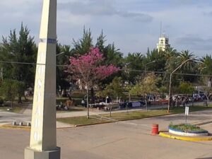
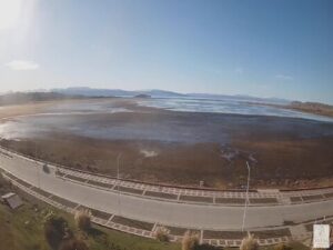
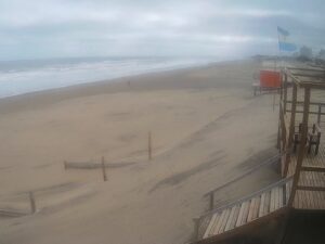
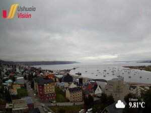
Ushuaia, Tierra del Fuego Province, Argentina
 12.1°C / 53.8°F
16:27
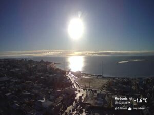
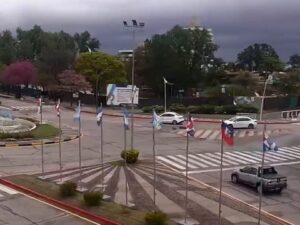


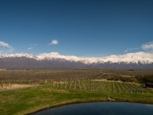

Torreón del Monje, Paseo Jesús de Galindez, Mar del Plata, Buenos Aires Province, Argentina
 15.6°C / 60.1°F
16:27
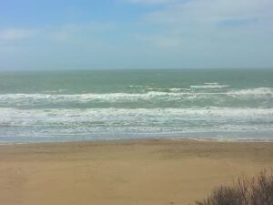
The Cipolletti Webcam looks down on the center of Cipolletti, a fruit-growing city in the Alto Valle of Rio Negro province, Argentina, from a camera mounted high above the downtown blocks. Two tall brick apartment towers rise in the middle of the frame, a new building stands half-finished in front of them, and low houses with tiled and metal roofs spread out to a flat, tree-lined horizon. The wide lens bends that horizon into a gentle curve, and the sky fills the top third of the picture, so weather fronts crossing the valley are easy to follow. The city government runs four more cameras alongside this one, covering the old railway station, the Cultural Complex and two of the city’s busiest roundabouts.
Cipolletti sits on the northeast bank of the Neuquen River, very close to where it meets the Limay to form the Rio Negro. The city of Neuquen lies across the river and shares a border with it to the west. The 2022 census counted 105,482 people in the municipality, up from 87,492 in 2010, and the town center stands about 270 meters (886 feet) above sea level on the flat floor of the valley.
General Manuel Fernandez Oro founded the town on 3 October 1903, and the railway promenade on one of the camera tabs runs along the street that carries his name. The city itself honors Cesare Cipolletti, the Italian hydraulic engineer whom the Argentine government hired in 1898 to plan irrigation for the Rio Negro and its tributaries. He set up at Fort General Roca in 1899 and studied the Neuquen, Limay, Negro and Colorado rivers, and the canals that followed made farming possible across the valley. Apples and pears, and the products made from them, are still what the city is known for.
White apartment blocks line up on the left of the main camera, tree-lined streets with parked cars fill the foreground, and faint low hills show along the far right of the horizon. The rivers are not in view from this camera or from any of the other four.
Cipolletti has an arid climate, and the closest long-term records come from the weather station at Neuquen’s airport, a short way to the west. Summer runs from December to February, and January, the hottest month, averages highs of 32°C (90°F) and lows of 16°C (61°F). The record there is 42.3°C (108°F). Autumn cools quickly: April averages 22°C (72°F) by day and 7°C (45°F) at night, and the street trees below the camera turn yellow by late April. July highs reach only 13°C (56°F), and the average low sits just above 0°C (32°F). The coldest night on record fell to -12.8°C (9°F).
Spring, from September to November, warms back to an average October high of 23°C (73°F) and low of 8°C (47°F). It is also the windy half of the year. Most of the wind blows from the west and southwest, and average speeds climb from about 8 km/h (5 mph) in July to 16 km/h (10 mph) in December, which shows on the camera as clouds racing across the skyline. Rain is scarce at about 212 mm (8.3 inches) a year, and snow falls on only one or two days in an average year, so a white skyline is a rare sight.
The Paseo del Ferrocarril, on calle Fernandez Oro, keeps the old railway grounds as public space, with the station building, the locomotive shed and a school of arts and crafts. The Museo Provincial Carlos Ameghino, on Belgrano street, holds fossils and archaeological finds from the region. Nearby, the Monumento a los Italianos honors the Italian immigrants who settled here in the early 20th century, and the Paseo de la Familia is a pedestrian walkway lined with shops, restaurants and bars. Parque Rosauer is the largest park in the city.
For the river, head to the Parque Costero on Isla Jordan, an island about 5 km (3.1 miles) from the center with walking and cycling trails and views of the confluence. Lago Pellegrini, near Cinco Saltos in the same department, covers 112 square kilometers (43 square miles). It fills a natural basin with water diverted from the Neuquen River by canal, a scheme begun in 1915 with the Ingeniero Ballester dam. People swim, windsurf, sail and fish there for trout and pejerrey, and the Ruca Co peninsula on its shore is a holiday and residential area.
Three more Argentine cameras, from a wine city in the west to the ski slopes in Cipolletti’s own province:
Cipolletti is in Rio Negro province in northern Patagonia, Argentina, in the irrigated farming district known as the Alto Valle. It sits on the northeast bank of the Neuquen River, close to its meeting with the Limay, and borders the city of Neuquen to the west.
The main camera shows the downtown skyline from high up: brick apartment towers, a building under construction, low houses and tree-lined streets running out to a flat horizon. Four tabs add the old railway station with large CIPOLLETTI letters on its lawn, the round brick building of the Complejo Cultural Cipolletti, and two roundabouts with steady traffic. None of the cameras shows the rivers.
Yes, there are two. One tab shows the large roundabout where National Routes 22 and 151 meet, with traffic circling it all day. Another covers the roundabout at Mariano Moreno and Avenida Mengelle, with a statue on the central island, a park on the left and tall towers on the skyline behind.
Dry for most of the year, with hot summers and cold winter nights. January highs average 32°C (90°F), July highs 13°C (56°F), and only about 212 mm (8.3 inches) of rain falls in a year.
Yes. Cesare Cipolletti, the Italian engineer who designed the trapezoidal weir that carries his name, planned the irrigation of the Rio Negro valley for the Argentine government from 1898. The city was named in his honor.
No. All five cameras are street and skyline views run by the city government, and none of them points at a football ground.
The two cities share a border, with the Neuquen River between their centers. Cipolletti’s main square is about 6 km (3.7 miles) east of central Neuquen. Presidente Peron International Airport lies about 8 km (5 miles) west of Neuquen’s center, on the far side of that city.
Source: Gobierno de Cipolletti
The best new live webcams and site features, once a week.
By subscribing you agree to receive our weekly email. Unsubscribe any time.
 16.3°C / 61.3°F