Live

 19:59:55
 1.6°C / 34.9°F
 Light Snow
 87%
 13 km/h / 8 mph
 08:39
 17:48
Loading forecast…
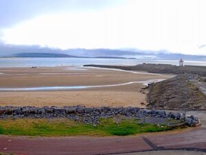
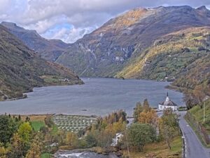
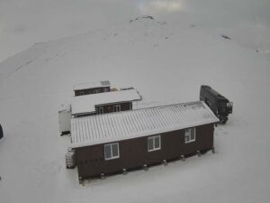
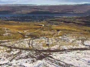
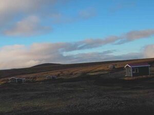
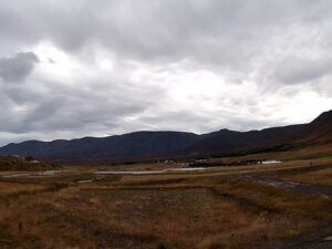
The Grindavik Webcam is a live four-panel mosaic from RUV, Iceland’s national broadcaster, trained on the volcanic ground around the Sundhnukur crater row just north of Grindavik on the Reykjanes Peninsula. Each panel comes from a separate hilltop camera and carries its own label: Vogastapi, Thorbjorn and Sylingarfell (South). In daylight the frames show a dark volcanic cone rising from bare black lava, sunlit brown hills beyond a dark lava field, and a main road with cars crossing open heath. The fourth panel shows a grey “recording not available” card when the camera behind it is off line. RUV started the stream on November 16, 2023, six days after Grindavik was evacuated, and it has stayed on air under the same broadcast through all nine eruptions on the crater row.
Grindavik is a fishing town on the south coast of the Reykjanes Peninsula, about 41 kilometers (25 miles) southwest of Reykjavik and 19 kilometers (12 miles) from the Keflavik Airport terminal in a straight line. Most of its people worked in the fishing industry, and the harbor, Hopid, became a safe anchorage in 1939, when a channel was cut through the reef to the open sea. Barbary pirates raided the town in June 1627 during the Turkish Abductions. Grindavik became a municipality in 1974.
About 3,000 people lived here until the evening of November 10, 2023, when a magma intrusion beneath the town led to a state of emergency and a full evacuation. The Sundhnukur crater row lies about 3.5 kilometers (2.2 miles) north of the town, and nine eruptions broke out along it between December 18, 2023 and August 2025. On January 14, 2024, a fissure opened 450 meters (0.28 miles) from the town, and lava breached the defensive barriers and destroyed three houses. Lava also cut Route 43, the road into town, more than once, and in February 2024 it flowed over the hot water pipeline. Only around 100 people have lived in Grindavik since 2024.
Thorbjorn, the first camera hill, rises directly north of the town, its summit 2.3 kilometers (1.4 miles) from the town center. Sylingarfell stands about 4.5 kilometers (2.8 miles) to the north-northeast, and the February and May 2024 eruptions both opened just north and northeast of it. Vogastapi is the outlier, near the village of Vogar on the north side of the peninsula. The Svartsengi geothermal power station and the Blue Lagoon sit about 4 kilometers (2.5 miles) north of the town center.
Grindavik has a mild, wet and windy coastal climate. From December to February, daytime highs average about 3 C (37 F) and nights about -1 C (30 F), so temperatures hover around freezing and snow can come and go on the heath all winter. Spring warms slowly, from highs near 4 C (39 F) in March to about 9 C (48 F) in May. Summer stays cool, with July and August highs around 13 C (55 F) and nights near 9 C (48 F). Autumn is the wettest season, and October brings the most rain at roughly 160 millimeters (6.3 inches). Across a year the town gets about 1,500 millimeters (59 inches) of rain and snow.
Light decides what the panels can show. Grindavik gets about 21 hours of daylight in late June and only around 4 hours 15 minutes at the winter solstice, so in midwinter the mosaic is dark for most of the day. Low cloud often settles on Thorbjorn and Sylingarfell and can blank those panels completely, while the lower Vogastapi camera usually keeps its view of the road. After dark the frames go almost black. Car headlights trace the road in the Vogastapi panel, and a thin line of distant lights shows along the horizon in the Sylingarfell panel. During an eruption that changes, because glowing lava lights up the night sky.
The Blue Lagoon geothermal spa lies in the lava field about 4 kilometers (2.5 miles) north of the town center, beside the Svartsengi power station, and Visit Reykjanes lists it as open. Grindavik itself is open to the public again. The Sundhnukur craters are closed to public access from the viewing sites to the west and north. A newer hiking route, Path B by the mountain Fagradalsfjall, leads to viewing sites over the latest eruption site instead.
Brimketill, whose name means “surf kettle”, is a rock pool in the shoreline lava about 9 kilometers (5.6 miles) west-southwest of Grindavik. Around 13 kilometers (8 miles) to the west, the Gunnuhver geothermal area steams beside the Reykjanes power station, and the Reykjanesviti lighthouse stands nearby at the southwestern tip of the peninsula. To the east, the lake Kleifarvatn lies about 24 kilometers (15 miles) away in a straight line.
For more volcano views, in Iceland and beyond, try these cameras next.
Grindavik is on the south coast of the Reykjanes Peninsula in southwest Iceland, 41 kilometers (25 miles) southwest of Reykjavik. The Sundhnukur crater row, the source of the recent eruptions, lies about 3.5 kilometers (2.2 miles) north of the town.
Live panels from RUV cameras on the hills around the eruption zone, labelled Vogastapi, Thorbjorn and Sylingarfell (South). In clear weather Thorbjorn looks at a dark cone in black lava, Sylingarfell across dark lava to brown hills, and Vogastapi over heath and a busy road to distant mountains. The town’s harbor and streets are not the subject of any panel.
Yes. This is the “Grindavik – Mosaic” stream on the RUV YouTube channel. It went live on November 16, 2023, during the evacuation of the town, and it has stayed on air under the same broadcast since then.
The live panels are the quickest check: an eruption shows as fountaining lava by day and a bright glow at night. Nine eruptions broke out on the Sundhnukur crater row between December 2023 and August 2025. Since then, the Icelandic Met Office has reported magma building up again beneath Svartsengi and warns that a new eruption could come with only a short warning.
Grindavik and the Blue Lagoon are open to the public. The Sundhnukur craters are closed from the western and northern viewing sites, but Path B by Fagradalsfjall leads to viewpoints over the latest eruption. Access changes quickly here, so check the Icelandic Met Office hazard assessment and Visit Reykjanes before you go.
Yes, it runs around the clock, but at night the panels are nearly black, and in midwinter Grindavik gets only about four hours of daylight.
Mild for its latitude, wet and windy. Winter highs average about 3 C (37 F) and summer highs about 13 C (55 F), and October is the wettest month.
Source: RUV
The best new live webcams and site features, once a week.
By subscribing you agree to receive our weekly email. Unsubscribe any time.
 -3.1°C / 26.4°F

 0.8°C / 33.4°F
 -3.3°C / 26.1°F

 -2.2°C / 28°F
 1.2°C / 34.2°F
 13.8°C / 56.8°F