Live

 10:05:44
 10.8°C / 51.4°F
 Broken Clouds
 84%
 46 km/h / 29 mph
 07:39
 17:02
Loading forecast…
The Stavanger Webcam looks out from Tjuvholmen, a small point on the west shore of Byfjorden at the northern edge of the city, across the water to the center of Norway’s oil capital. It is a panning camera run by Stavanger Havn, the port authority, and relayed on YouTube by Live Norway. The camera cycles through several fixed views rather than holding one: the city skyline to the south, with church spires among the roofs and a line of hills behind, cruise ships berthed at the quays on call days, the open fjord with ferries and workboats crossing, and the new apartment blocks on the shore just across the inlet. A port timestamp sits in the top left corner of the picture. The stream has run around the clock since March 2023.
Stavanger sits on the southwest coast of Norway in Rogaland county and had a population of 151,669 in 2025. The city dates its founding to 1125, the year Stavanger Cathedral was completed, and the old center still gathers around Vagen, the narrow inner harbor that runs into the middle of town. On the western side of Vagen stands Gamle Stavanger, the old town, with more than 250 buildings, most of them small white wooden cottages from the 18th and 19th centuries.
The modern city grew out of the North Sea. Oil was first found there in 1969, and Stavanger was chosen as the onshore base for the Norwegian industry, which is why it carries the title of oil capital today. The Norwegian Petroleum Museum, opened in 1999 on Kjeringholmen at the mouth of Vagen, was designed to look like a small offshore platform when approached from the sea. Both the museum and the harbor mouth lie in the direction the camera faces when it turns toward the skyline.
The camera itself is mounted at Tjuvholmen in the Bjergsted district, about 1.5 kilometers (0.9 miles) northwest of the cathedral and next to the park and concert hall that sit just north of the old town. From there the skyline preset takes in the whole front of the city, with cruise ships berthing to the right of the frame and a small skerry breaking the water on the left. When the camera swings around, the picture changes completely: a red navigation-light cap fills the foreground and the view is of modern six- and seven-story apartment blocks across a sound only a few hundred meters wide, with older houses on the hill behind them.
Stavanger has a mild, wet, coastal climate for a city at 59 degrees north, because the sea around it stays relatively warm all year. In January the typical range is 1 to 4 C (34 to 39 F), and hard frosts are short-lived, so the harbor almost never freezes and the camera keeps showing open water through the winter. April brings 3 to 9 C (37 to 48 F) and the first long evenings. July and August are the warmest months at 12 to 18 C (54 to 64 F), rarely much hotter. October drops back to 7 to 12 C (45 to 54 F).
Rain is the defining feature. The city receives well over 1,000 millimeters (40 inches) a year, with autumn the wettest season: September, October and November each bring close to 200 millimeters (8 inches) on average. Snow does fall, usually between December and March, but at sea level it rarely lies for long. Daylight swings widely: around the June solstice the sun is up for close to 18 hours and the camera stays bright until late evening, while in December there are only about six hours of daylight and the city lights come on by mid-afternoon.
Start at the harbor. Gamle Stavanger is a short walk from the quays, and the Norwegian Canning Museum inside it preserves a sardine factory as it looked in the 1920s. Across Vagen, the Norwegian Petroleum Museum on Kjeringholmen explains how oil and gas form, how they are found under the seabed, and how offshore platforms work. Stavanger Cathedral stands at the head of the harbor, and the Bjergsted park and concert hall are a few minutes’ walk from the camera itself.
The big day trip is Preikestolen, the Pulpit Rock, a flat-topped cliff standing 604 meters (1,982 feet) above Lysefjorden. The trailhead is about 40 minutes from Stavanger by car since an undersea tunnel opened in 2020, and the hike is 3.8 kilometers (2.4 miles) each way, taking three to four hours for the round trip at an ordinary pace. It drew 300,000 visitors in 2024.
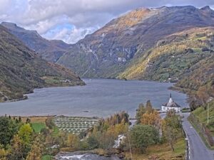
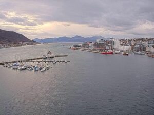
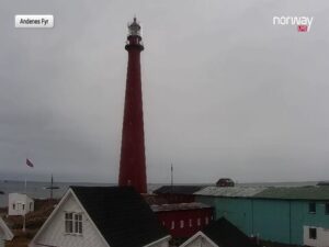
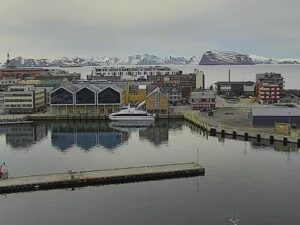
Three more live views from Norway, starting with the gateway to Preikestolen just across the fjord.
The camera pans between several preset views from Tjuvholmen on the north side of the harbor. The widest shows the Stavanger skyline across Byfjorden, with church spires, the quays and the hills behind the city. Others show cruise ships at the quays, the open fjord with ferries crossing, and the apartment blocks on the shore just across the inlet.
Yes. When the camera is on its skyline preset, cruise ships berthed at the city quays appear on the right of the frame, bow on to the camera. On days with no ship in port the same preset shows the empty quays and the town behind them.
It is at Tjuvholmen in the Bjergsted district of Stavanger, Rogaland, on the west shore of Byfjorden about 1.5 kilometers (0.9 miles) northwest of the cathedral. The camera belongs to Stavanger Havn, the port authority, and the live stream is published on the Live Norway YouTube channel.
Mild and wet. Winters hover around 1 to 4 C (34 to 39 F), summers reach 12 to 18 C (54 to 64 F), and the city gets well over 1,000 millimeters (40 inches) of rain a year, most of it in autumn.
Yes, but not much and not for long. Snow usually falls between December and March, and because the city sits at sea level on a mild coast it tends to melt within days. A white skyline on the webcam is a treat rather than the rule.
Rarely. At 59 degrees north the aurora only reaches Stavanger during strong geomagnetic storms, and this camera faces a lit-up city across the water, so it is not an aurora camera.
Oil, old wooden houses and Preikestolen. Stavanger has been the base of Norway’s offshore oil industry since the first North Sea discoveries in 1969, Gamle Stavanger is one of the best preserved wooden towns in the country, and the Pulpit Rock, 604 meters (1,982 feet) above Lysefjorden, is about 40 minutes away by car.
Source: Live Norway and Stavanger Havn
The best new live webcams and site features, once a week.
By subscribing you agree to receive our weekly email. Unsubscribe any time.

 11.3°C / 52.3°F
 7.5°C / 45.5°F

 8.1°C / 46.6°F