Live

 20:44:45
 9.3°C / 48.7°F
 Overcast Clouds
 93%
93% 19 km/h / 12 mph
 06:38
06:38 19:53
19:53Loading forecast…


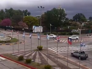

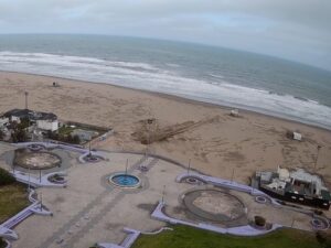
Torreón del Monje, Paseo Jesús de Galindez, Mar del Plata, Buenos Aires Province, Argentina
11.2°C / 52.2°F
20:44

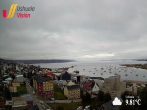
Ushuaia, Tierra del Fuego Province, Argentina
9.1°C / 48.4°F
20:44
The Comodoro Rivadavia Webcam looks along the seafront of this Patagonian oil city toward its port, from a raised balcony above the coast road in the city center. Angle-parked cars and a wide sidewalk fill the foreground, and a low blue sea wall separates the road from a dark shingle beach where waves from the San Jorge Gulf break white along the stones. At the far end of the bay, red-hulled fishing boats lie against the docks beside warehouses and a tall building painted with a large mural, while a few sailing yachts shelter behind the breakwater. On a mid-October evening the low sun turned the port buildings orange and people lined the sea wall to watch the surf. Three more cameras from the same operator sit in the tabs on the player, covering the seafront to the north, a waterfront boardwalk and the open sea at Km 3.
Comodoro Rivadavia sits on the San Jorge Gulf, the broad Atlantic bay that cuts into the coast of southern Chubut province. The city was founded by decree on 23 February 1901, and the 2022 census counted 201,854 residents. Chenque Hill, 212 meters (696 feet) high, divides the city in two, and because it is made of sandstone and mudstone its slopes were terraced to prevent flooding. The town was not yet seven years old when oil was struck in 1907 at a depth of 539 meters (1,768 feet), and Well No. 2 gave Argentina its first state oil on 13 December 1907.
The port at the end of the frame is the city’s working waterfront. Its principal pier is 216 meters (709 feet) long and was designed for ships up to 181 meters (594 feet) long drawing up to 10 meters (33 feet). The fishing fleet ties up along the quay, and the breakwater that closes the harbor is the pale line running out across the water on the left of the picture.
The Comodoro Rivadavia Webcam belongs to the city’s official tourism agency, Comodoro Turismo, which names this view Nautico Centro. A second camera, Nautico Centro II, appears to share the same balcony and faces the other way, along the beach toward a low headland and the hills at the northern end of the bay. The city has been extending its coastal promenade, the Paseo Costero, in stages; one 600 meter (1,969 feet) stretch on Avenida Ducos, between General Solari and Pellegrini streets, was rebuilt with new benches, lighting, trees and irrigation as a space for walking and sport.
Comodoro Rivadavia has a cold semi-desert climate, with just 258.1 millimeters (10.16 inches) of precipitation in an average year on the 1991 to 2020 normals. January, the height of summer, averages highs of 26.3 C (79.3 F) and lows of 13.5 C (56.3 F). July is the coldest month, with highs of 11.0 C (51.8 F) and lows of 2.7 C (36.9 F). Spring and autumn sit between the two, and with so little rain the road and promenade on camera are dry far more often than wet.
The sea is the part of the view that changes most. On the October evening this post was written, swell was breaking white along the whole beach in both seafront views and churning over the water at Km 3, yet every parking space along the sea wall was taken. Late in the day the light comes from behind the city, so the port buildings at the far end of the bay catch the last sun while the beach below the camera falls into shade. In winter the days are short and the sun stays low in the northern sky, so the frame is lit from the side even at midday.
The viewpoint on Chenque Hill is the place to see how the city is laid out, since every part of it can be picked out from the top. The National Petroleum Museum stands in the General Mosconi district, built around Well No. 2 itself. It opened on 13 December 1987, exactly 80 years after the first state oil flowed, and is run by the National University of Patagonia San Juan Bosco. Inside are interactive displays on the history of oil, real drilling equipment and a 4D show that simulates boring a well.
A visit to the port puts you close to a seal colony that rests near the docks. Rada Tilly, 12 kilometers (7.5 miles) south, has 4.5 kilometers (2.8 miles) of fine sand used for walking, beach volleyball, windsurfing, kitesurfing and diving, and its anglers fish for hake and sea bass. Also in Rada Tilly, the Punta del Marques nature reserve has had a lookout since February 1986 over a colony of South American sea lions.
More live views from Argentina’s Atlantic coast and the far south:
Comodoro Rivadavia is in Chubut province in Argentine Patagonia, on the San Jorge Gulf of the Atlantic Ocean. The beach town of Rada Tilly lies 12 kilometers (7.5 miles) to the south.
The main view runs along the city center seafront: the coast road and parked cars, the blue sea wall, a shingle beach with breaking waves, and the port at the far end of the bay with its fishing boats, breakwater and a building painted with a large mural. The tabs add the same seafront looking north, a red-surfaced boardwalk right at the water, and the open sea at Km 3.
It is dry, with about 258 millimeters (10.2 inches) of precipitation a year. Summer highs average 26.3 C (79.3 F) in January, and winter highs drop to 11.0 C (51.8 F) in July, with lows near 2.7 C (36.9 F).
Yes. Comodoro Turismo runs several, and four of them make up the Comodoro Rivadavia Webcam on this page: Nautico Centro, Nautico Centro II, a boardwalk camera listed as Centro III, and Nautico Km 3. Switch between them with the tabs on the player.
Oil was struck in 1907 at a depth of 539 meters (1,768 feet). Well No. 2 produced Argentina’s first state oil on 13 December 1907, and the National Petroleum Museum now stands around it.
Chenque Hill rises 212 meters (696 feet) and splits the city in two. Its viewpoint looks over every part of the city and out across the gulf.
The Punta del Marques nature reserve at Rada Tilly has a lookout, open since February 1986, above a colony of South American sea lions. A seal colony can also be seen at close range from the city’s port.
Source: Comodoro Turismo
The best new live webcams and site features, once a week.
By subscribing you agree to receive our weekly email. Unsubscribe any time.
 6.9°C / 44.4°F
 11.6°C / 52.9°F
 16.7°C / 62.1°F