
Live

 00:29:22
 6.3°C / 43.3°F
 Scattered Clouds
 78%
78% 3 km/h / 2 mph
 08:07
08:07 18:25
18:25Loading forecast…
The Eide Webcam looks south from the village of Eide in Hustadvika, on the Romsdal Peninsula in Norway’s More og Romsdal county, toward the steep mountain wall that rises behind the settlement. The camera does not hold one view: it pans and zooms across the massif, switching shots every minute or two. In the wide shot a lower ridge runs along the left and dips to a notch, then the slope climbs to a broad summit block that fills the center and right side. Tighter shots follow the jagged summit ridge and close in on single peaks, which carried a first dusting of snow in early October. Low cloud often sits on the tops, and the valley floor at the bottom of the wide shot can hold drifting mist and a few white houses. The camera points roughly toward the midday sun, so on autumn and winter days the mountain can show as a dark shape against a bright sky.
Eide is a village of 1,522 people (January 2025) on the north side of Isingvagen, a bay of the Kornstadfjorden, close to where that fjord meets the Kvernesfjorden. From 1897 until 1 January 2020 it was the administrative center of Eide Municipality, which merged with Fraena that day to form Hustadvika Municipality. The name comes from the Old Norse word for an isthmus, though here it describes the small valley between two large hills, and between the fjord and a large lake, where the village grew up.
Lined up against Norway’s national elevation model, the skyline in the wide shot matches the massif about 7 kilometers (4.3 miles) south of the village. Its summits, Luten at 968 meters (3,176 feet) and Heklatindan at 906 meters (2,972 feet), sit in the center of that view and can be hidden in cloud, with the lower ridge of Surndalsheia and the notch of Surndalsskaret to their left. The highest point of the old municipality, Snotinden at 1,026.5 meters (3,368 feet), stands farther east and is outside this view.
Stone has long shaped the local economy. The village sits beside sizable quarries and a stone industry, and at Visnes, about 5 kilometers (3.1 miles) to the northwest, Visnes Kalk refines crystalline marble from an open pit in the mountain. Eide Church, a white wooden long church designed by Jacob Wilhelm Nordan, was consecrated in 1871. The stream itself is one of more than a dozen run by Live Norway, the YouTube channel of Molde security firm Triangel Security, which also streams Nordfjordeid, Maloy, Selje, Smola and Hammerfest.
For a place at almost 63 degrees north, Eide has a mild, wet coastal climate. At Molde Airport, the 1991 to 2020 averages are a January high of 3 C (37 F) and low of -1 C (30 F), and a July high of 19 C (66 F) and low of 12 C (54 F). Kristiansund Airport to the northeast is much the same, with 4 C (39 F) and 0 C (32 F) in January. Ten years of modeled data for the village put autumn as the wettest season, with roughly 200 millimeters (7.9 inches) of precipitation in both September and October.
Daylight swings hard at this latitude. Around the winter solstice the sun is up for less than five hours and stays low in the southern sky, right where the camera points, so the mountain can read as an outline for most of the short day. Snow can cover the summits through the winter. By late June, sunrise to sunset stretches past 20 hours and the sun does not set until close to midnight, so the green slopes stay in view through the long evenings.
On the Hustadvika side, the Atlantic Ocean Road begins at Vevang, about 12 kilometers (7.5 miles) northwest of Eide in a straight line. This 8.3 kilometer (5.2 mile) section of County Road 64 crosses islands and skerries on eight bridges, the best known being Storseisundet Bridge, to reach Karvag on Averoya. It opened on 7 July 1989 and, together with the coast road from Vevang to Bud, is one of Norway’s 18 National Tourist Routes.
For a hike, Trollkyrkja, the Troll Church, is a set of three limestone caves with underground streams, and in the two lower caves waterfalls drop 14 meters (46 feet) into a white marble pool. The marked trail leaves a car park beside County Road 64 at Fraeneidet and takes about 90 minutes with 400 meters (1,312 feet) of climbing, steep near the end. From Eide, County Road 64 runs on to Molde, about 30 kilometers (19 miles) away, and Kristiansund, about 50 kilometers (31 miles) away.
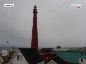
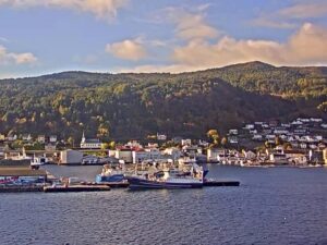
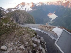
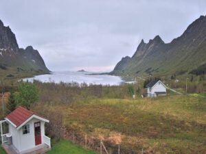
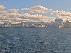
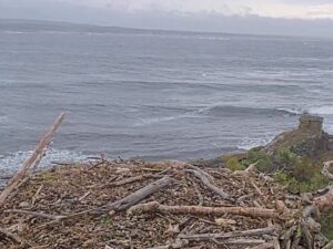
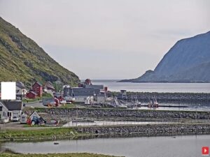
More views from the coast near Eide to the fjords and Arctic peaks of Norway:
Eide is in Hustadvika Municipality in More og Romsdal county, western Norway, on the Romsdal Peninsula where the Kornstadfjorden meets the Kvernesfjorden. By road it is about 30 kilometers (19 miles) from Molde and about 50 kilometers (31 miles) from Kristiansund.
The camera faces roughly south past the edge of the village to a steep mountain wall, and it pans and zooms through a repeating tour of shots. The wide view puts a lower ridge on the left and the summit block, which matches the Luten and Heklatindan massif, in the center and right, while tighter shots pick out the jagged summit ridge and single peaks. Low cloud often hangs on the tops, a few houses can show at the bottom of the wide view, and in rain or fog the mountain can vanish from view.
This is Eide in Hustadvika, the former municipal center in More og Romsdal. Norway has several places called Eide, including ones in Fitjar, Grimstad and Lund, and the name is easy to mix up with Eidfjord or Nordfjordeid, which are different places.
Eide is mild for its latitude and often wet. Nearby airport stations average highs of 3 to 4 C (37 to 39 F) in January and 18 to 19 C (64 to 66 F) in July, and autumn is usually the rainiest season.
The camera points toward the south, where the sun stands at midday, so the mountain is backlit for much of the day, especially in autumn and winter when the sun stays low. Around the winter solstice there are fewer than five hours of daylight in Eide.
Yes. The Atlantic Ocean Road begins at Vevang in the north of Hustadvika, roughly 12 kilometers (7.5 miles) northwest of Eide in a straight line, and County Road 64 links the two.
No. Eide Municipality existed from 1 January 1897 until 1 January 2020, when it merged with Fraena Municipality to form Hustadvika.
Source: Live Norway
The best new live webcams and site features, once a week.
By subscribing you agree to receive our weekly email. Unsubscribe any time.
 2.8°C / 37°F
 1.8°C / 35.2°F


 1.2°C / 34.2°F